

The Dales High Way is one of England’s long distance footpaths and runs for 90 miles from Saltaire to Appleby in Westmorland, crossing the high ground of The Yorkshire Dales. The route was put together by Tony and Chris Grogan just over 10 years ago, and is rapidly becoming one of our popular walks.
Those of you who follow my blog will know that I completed the walk earlier in the year and I thought for the benefit of anyone considering taking on this challenge, I would summarise my experiences and set out my day to day plan, including details about the campsites I stopped at on route. Hopefully, this may help others in the planning of their own walk.
Overall Summary
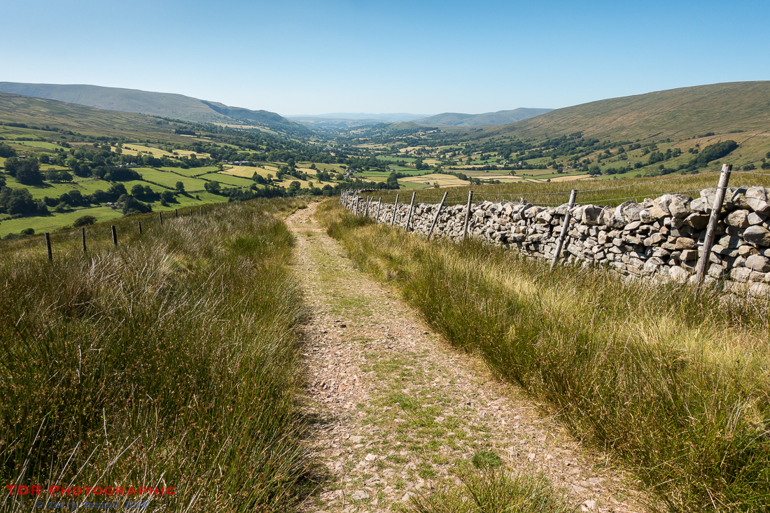
The first thing to say is that this is an awesome walk with amazing scenery and breathtaking views, as well as some lovely villages and hamlets. With most long distance paths, there are usually a few parts that are not quite so good but with this walk I don’t think there was a bad part anywhere and I enjoyed all of it. If I was nit-picking, I’d say that there were short stretches on the last day where the path was slightly overgrown but that wasn’t really a problem apart from the fact that shorts and stinging nettles don’t go well together. The only thing I will say is that there were signs that parts of the route could become boggy in wetter seasons. However, this was a very dry summer so I experienced no problems at all on this trip.
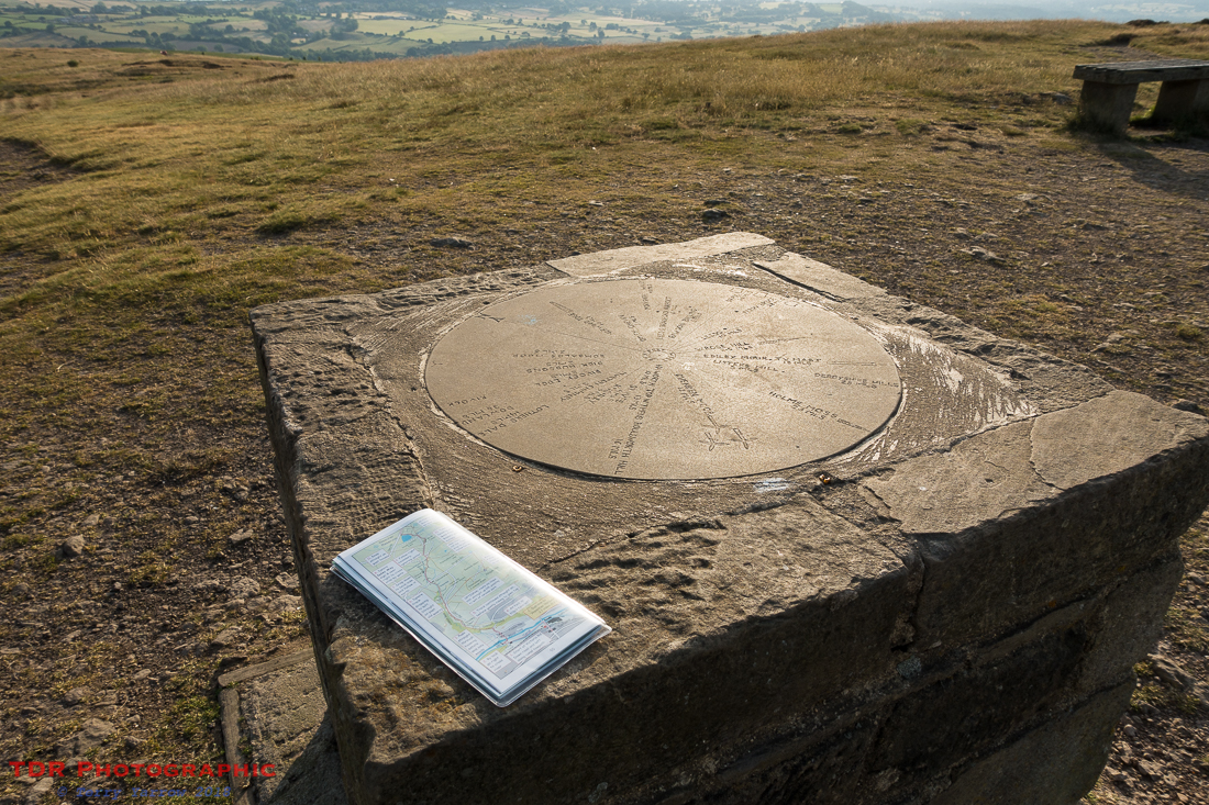
For route finding, I used the small map book designed by Tony and Chris Grogan which proved very good for 99% of the route. There were just a handful of occasions when I needed to refer to my OS Map Ap in order to check/correct my position where paths were a bit vague. I did also carry the full guide, written by the same couple, as this has some interesting information in it. Waymarking along the route is generally good but could not be relied on exclusively.
I chose to ’embellish’ the route slightly because there were areas that were not on the official route that I wanted to walk. I ended up adding 30 miles to the total distance in order to take in Hope Hill, Pen Y Ghent, Whernside (I wanted to climb all three peaks but only Ingleborough is included in the official route), Hull Pot, Gordale Scar, Malham Village, Ribblehead Viaduct, Arant Haw, and sometimes an extra mile or two to reach a campsite. This meant that my total distance walked was 120 miles in the 7 days. My ’embellished’ route made it a more challenging walk though and I climbed a total of just over 18,000 feet in the week.
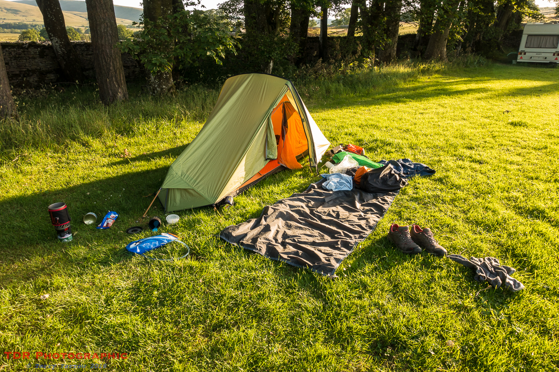
I am a ‘purist’ backpacker and I carry everything on my back but on this trip there were a couple of days when, due to the extreme heat and arthritic knees and ankles, I used Sherpa to carry my main pack, resorting to just a light foldaway daypack on those days. This was particularly necessary on the day I climbed Ingleborough because the descent into Chapel Le Dale is very steep and my knees would not have coped with a 35 lb pack up. The service provided by Sherpa was excellent even when used for just the odd day or two.
One thing I would definitely recommend is allowing some time at the beginning and end of the walk to explore Saltaire and Appleby in Westmorland respectively. They are both places worth exploring. It also occurred to me that it would be quite easy to extend the walk to take in The Lake District as well should you desire a longer walk.
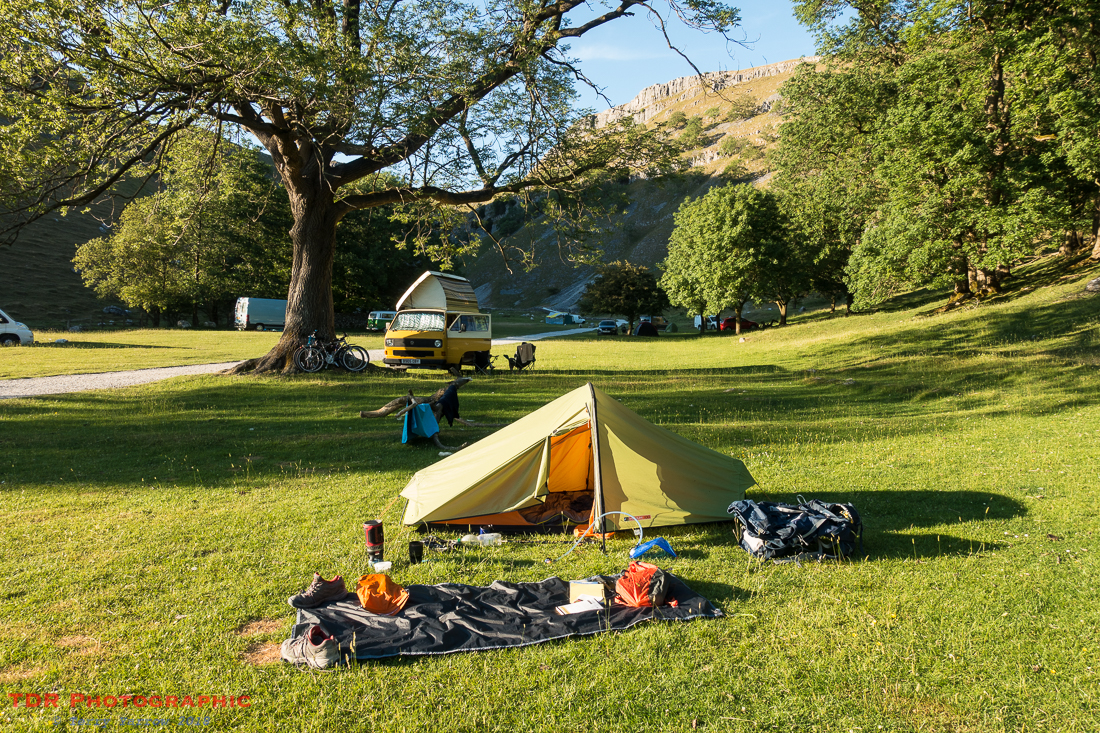
Because of the extreme heat which basically meant that I needed a shower at the end of each day, and of course because wild camping is illegal 😉 , I used camp sites each night, and I found there to be enough of these along the route and the ones I used to be generally good. There is a list of my campsites below. I also met some lovely people along the way – lots of walkers and runners as well as locals who were always helpful.
Tony and Chris Grogan did an excellent job in putting this walk together and I would recommend it highly to you!
My Schedule
This was my schedule, mileages walked and elevation gained in feet each day according to GPS. As mentioned, I detoured virtually every day to take in sights that are not included in the ‘official’ route, so my distances differ from the guidebook. The reason for ‘Day 0’ is that that was a non-walking day apart from a short distance to reach the campsite.
Day 0 – 3 miles – 661 feet – Travel up and walk to Hope Hill
Day 1 – 20.6 miles – 2,352 feet – Hope Hill to near Skipton
Day 2 – 14.1 miles – 2,142 feet – near Skipton to Gordale Scar
4.4 miles – 439 feet – evening walk to Malham Village, Gordale Scar etc
Day 3 – 12.2 miles – 1,748 feet – Gordale Scar to Stainforth
8.6 miles – 1,625 feet – afternoon walk to Hull Pot and Pen Y Ghent
Day 4 – 13.4 miles – 2,677 feet – Stainforth to Chapel Le Dale
Day 5 – 15.9 miles – 2,207 feet – Chapel Le Dale to Dent
Day 6 – 17.6 miles – 3,360 feet – Dent to Newbiggin on Lune
Day 7 – 13.3 miles – 929 feet – Newbiggin on Lune to Appleby in Westmorland
The total mileage walked was 123.1 miles and total elevation gained was 18,140 feet so my daily averages were 17 miles and 2,590 feet.
Campsites used
These are the campsites used on this trip and I have indicated which are actually on the route and which required a detour to reach.
Night 0 – Dobrudden Farm, Hope Hill, Saltaire (off the route)
Night 1 – Niffany Farm Camping, near Skipton (off the route)
Night 2 – Gordale Scar Campsite, Gordale House, Malham (on the route)
Night 3 – Knight Stainforth Hall, Stainforth (on the route)
Night 4 – Philpin Farm Campsite, Chapel le Dale (on the route)
Night 5 – High Lanning Caravan and Camping, Dent (on the route)
Night 6 – High Lane Farm, near Newbiggin on Lune (on the route)
Night 7 – Travel home
Naturally, some had better facilities than others but all had at least the basic requirements. Also, some get busier than others but I did not book any in advance and still managed to find a pitch each night. Of the campsites listed, High Lane Farm, Newbiggin on Lune, and the Gordale Scar Campsite had only minimal facilities and the latter is a site popular with DOE students which meant I had to queue for a shower. I would say though that the Gordale Scar Campsite is in a fabulous position so it was worth staying despite the queue. In fact, in many ways I prefer campsites with less facilities anyway, as it takes you nearer to the wild camping experience.
Food and drink
Naturally there is a need to plan ahead where food and drink is concerned. I used a mixture of pub food and food ‘cooked’ on my camp stove for the main meal. Some of the campsites had a pub within easy walking distance, but with others, a walk of several miles would have been needed in order to reach anywhere for a meal.
For breakfast, I mostly ate at my tent.
In terms of lunch, I either stopped on route or carried food with me. Often there were either pubs, tea rooms or shops that I passed during the day, but not every day, so it is important to think ahead.
Links to the individual blog entries
These are links to my individual blog entries which include full information on each day’s walking.
The Dales High Way – Intro
Day 0 – Arrival in Saltaire
Day 1 – Saltaire to Skipton
Day 2 – Skipton to Gordale Scar and more
Day 3 – Gordale Scar to Stainforth plus an afternoon climb to Hull Pot and Pen Y Ghent
Day 4 – Stainforth to Chapel Le Dale
Day 5 – Chapel Le Dale to Dent
Day 6 – Dent to Newbiggin-on-Lune
Day 7 – Newbiggin-on-Lune to Appleby in Westmorland
I hope this summary is useful to you and if you are thinking about doing the walk, I would unhesitatingly say, do it! It is a wonderful walk and one I can highly recommend, and I would also recommend adding in at least the three peaks if you can. Do remember though that the guide books do not include Pen Y Ghent, so take a map of that area.
If you have any specific questions, please do get in touch and I will be glad to try and help.
Thanks for stopping by.
Until next time,
Your friend
The Dorset Rambler
If you would like to contact me, my email address is terry.yarrow@gmail.com – comments and feedback are always welcomed.
All words and pictures in this blog are the copyright of The Dorset Rambler and may not be reproduced without permission.

Excellent summary, thank you. Certainly a walk that is becoming popular from the number of ramblers we see on it.
Thanks John.
Reblogged this on World4Justice : NOW! Lobby Forum..
A wonderful recap. 🙂 I have long wanted to do a walking tour in the UK – your posts have increased that desire. 🙂
Thanks Lynette. You should definitely do that!