

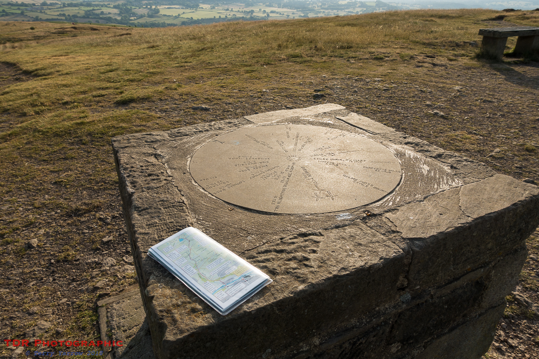
Day one of the walk proper dawned bright and sunny and I was up before 5am for a quick breakfast at my tent – usually I just eat breakfast bars with a cup of tea whilst camping. By the time I had packed up, it was 6.30am and I headed out to reach the top of Hope Hill, with its lovely 360 degree views. I met a runner near the top and we fell into conversation as we walked the final few meters together. He was a local man and he pointed out all the sights that were visible from the top. He was the first of many fell runners that I would meet on this walk.
After chatting for quite some time, we bade our farewells and I made my way down off the hill, thinking that I could have put my rucksack down while we had stood talking 🙂 ! I crossed the golf course, very quiet in the early morning, and rejoined the main track that I had detoured from to reach my camping spot last night. The route then took me through the gallops used by Harvey Smith of showjumping fame to reach Weecher Reservoir. Here I saw a golden plover, and shortly after, a barn owl flew over after a night’s hunting – this was a morning for wildlife.
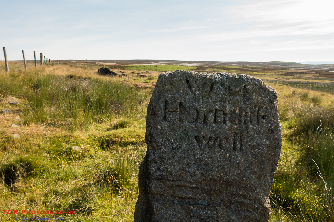
Leaving the reservoir behind, I crossed the road and left all civilisation behind me as I made my way out onto the open moors, crossing Bingley Moor to reach the Horncliffe Well.
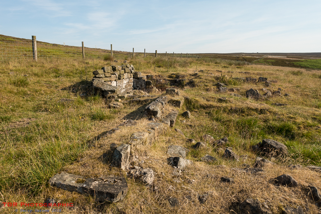
Horncliffe Well is ancient, the first mention of it dating back to the 13th century although it undoubtedly pre-dated that. It has a reputation for never drying up and was a great water source for the area, even having an old building erected next to it in the 18th/19th centuries – the ruins are still visible. This building is said to have been a school used by a local teacher – it seems a very remote place for a school. The well also marks an ancient boundary, the meeting point of three separate moors. The well now is not what it once was, not because the water has ceased to flow but because the water has been redirected into a mains water channel by Yorkshire Water.
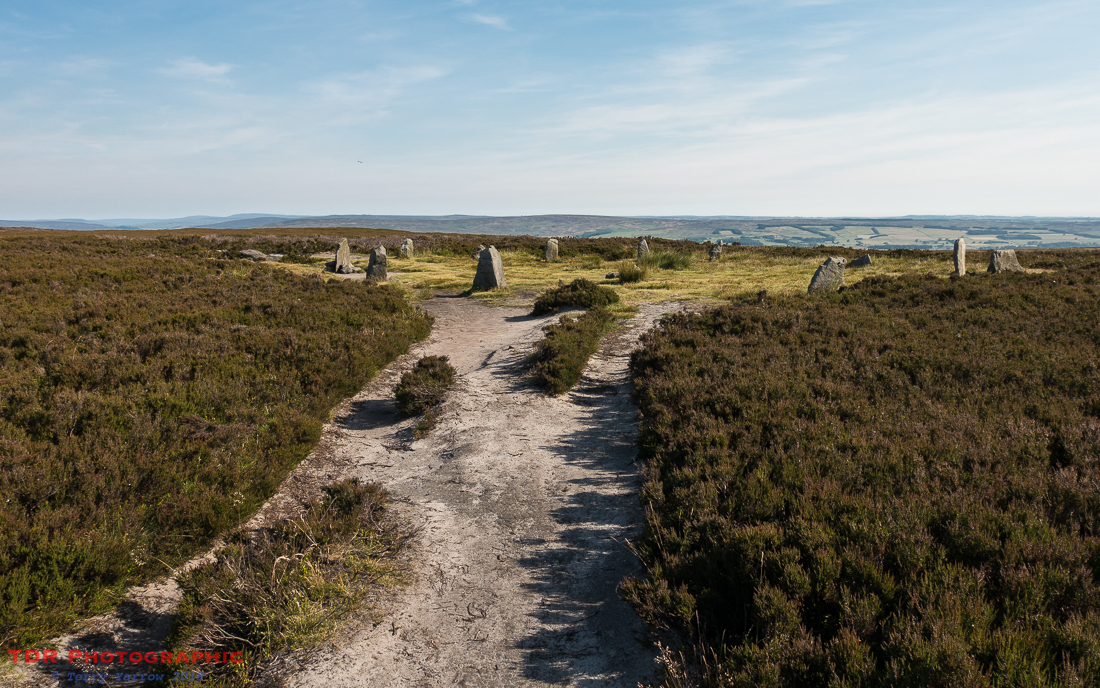
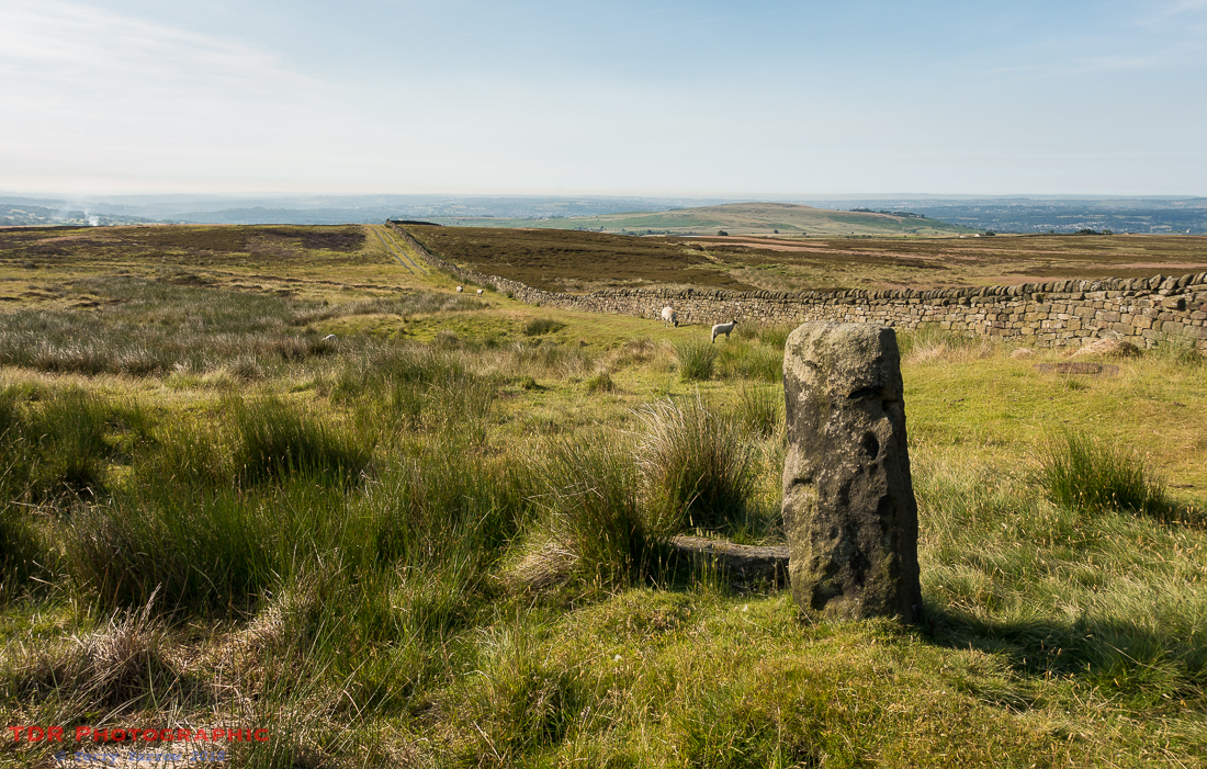
There are many ancient features such as standing stones, way markers and stone circles all over these moors, often situated near what were once medieval ‘motorways’, trade and drove routes. The Horncliffe Circle stands not far from the well, and a little further on I passed the slightly smaller Twelve Apostles Circle. Known at one time as The Druid’s Chair and The Druidical Dial Circle, this is thought to have comprised originally between 16 and 20 stones but is now reduced to 12. The area has been considerably damaged, the embankment that once surrounded the circle having eroded, and the stones having fallen and been re-erected many times. Although it bears little resemblance to its original form, it is still a beautifully remote and interesting spot and I sat for a time sketching the circle before moving on.
I continued to walk across open fell tops, crossing the Burley Moor to reach its more famous neighbour, Ilkley Moor, where naturally I broke into song 🙂 ! On this day though I certainly wouldn’t have wanted to be there without a hat 🙂 !
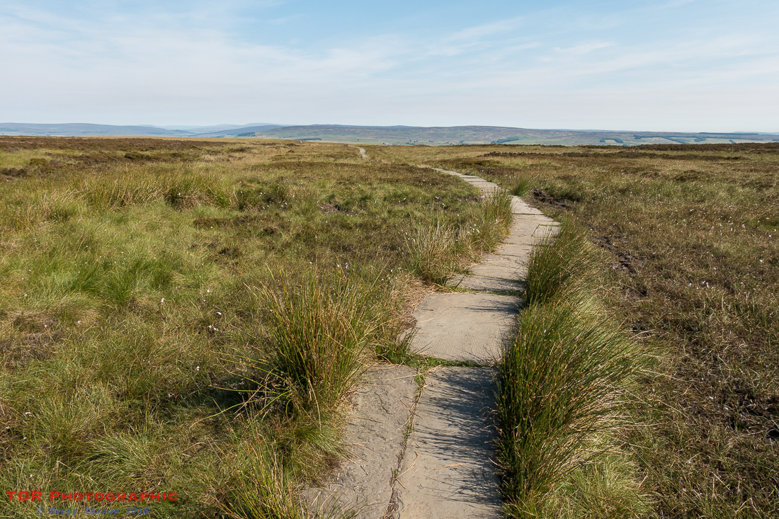
The path here had been paved, indicating how wet and boggy this gets at most times of the year. In fact, these moors have very different facets – today they were warm, dry and friendly, but come in winter and they would be much more threatening and dangerous; bleak, boggy and often shrouded in mist.
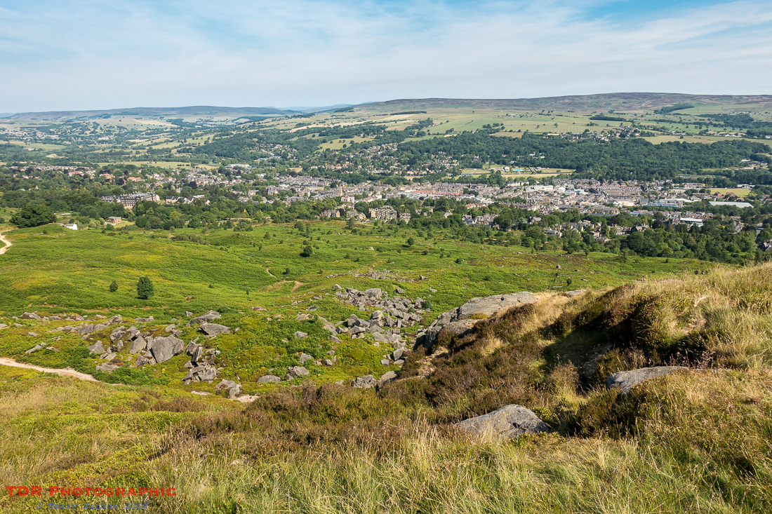
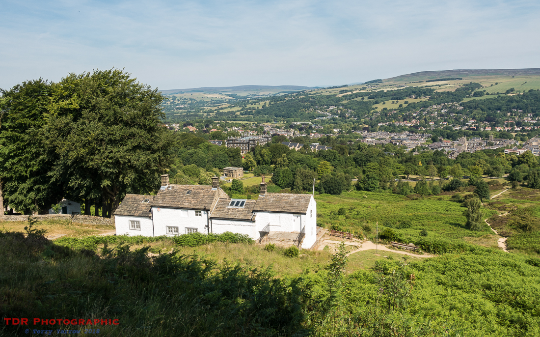
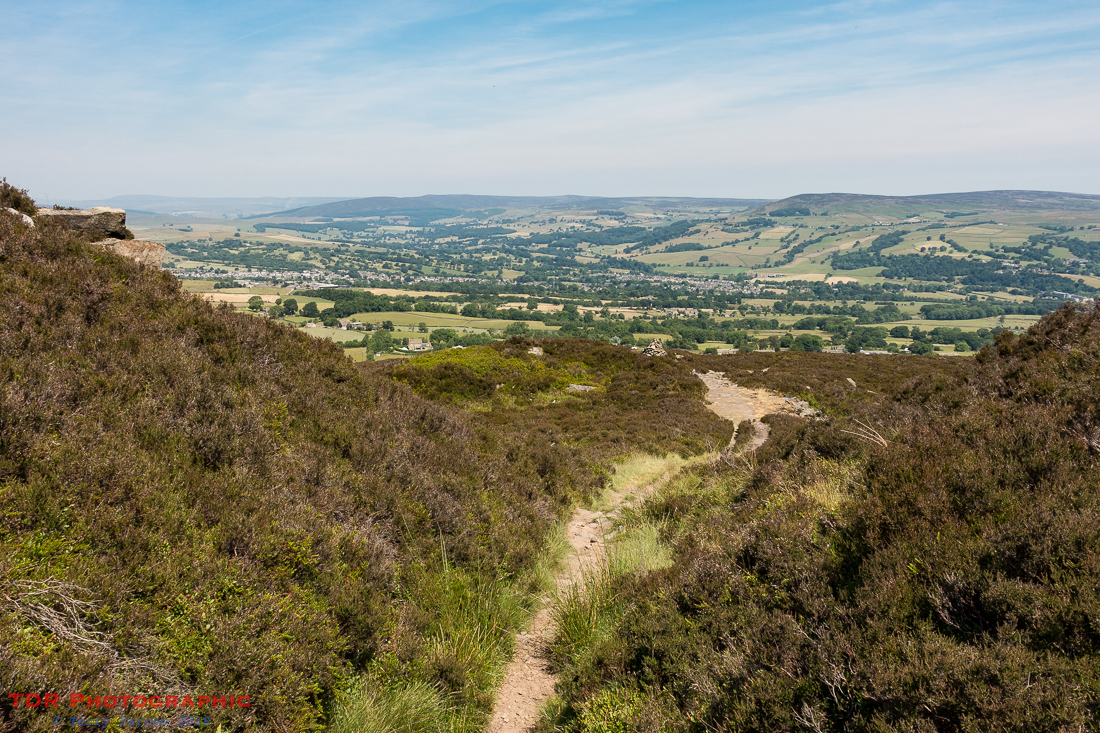
Eventually I reached Ilkley Crag with awesome views over Ilkley itself.
Now, here, the guide book told me that below the crag but above Ilkley, stands White Wells, an 18th century bath house. It also told me that when the flag is flying, a cup of tea is available 🙂 ! Sadly on this day there was no flag 😦 ! White Wells was originally an open air spa bath but was later enclosed. Now, there is just a single plunge pool remaining, which apparently is popular at New Year!
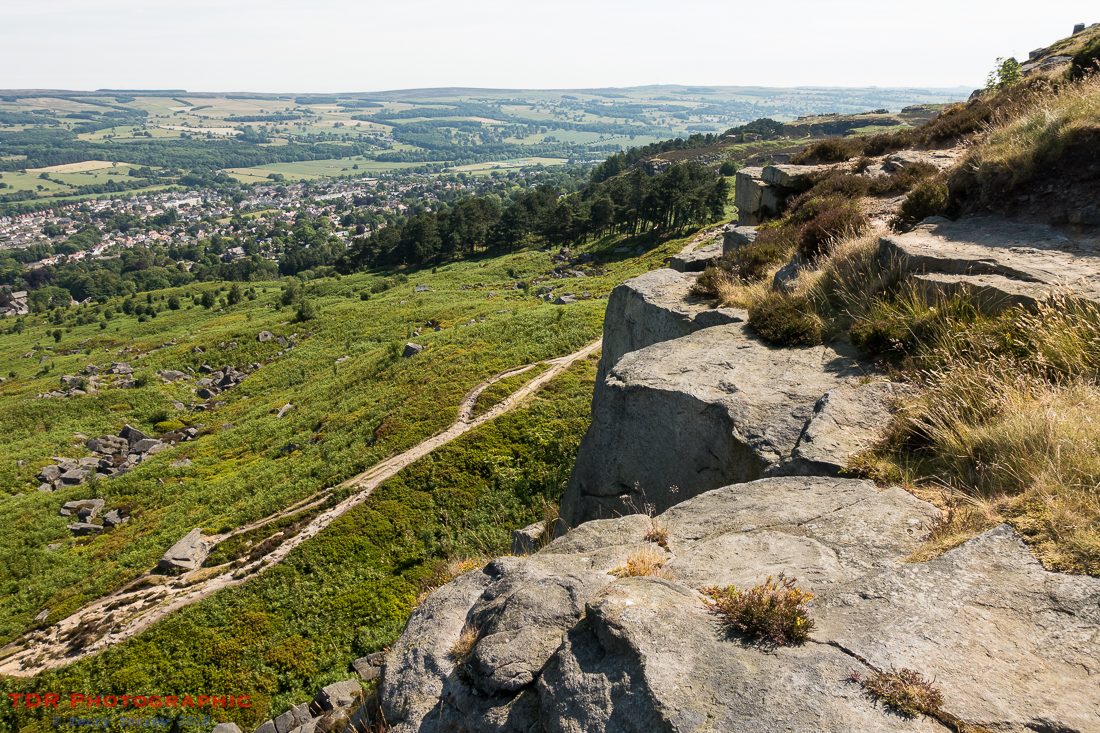
From this point, the path followed the edge of Rombalds Moor and all along its three and a half mile length, there were amazing views, first over Ilkley and then Addingham with Wharfedale behind. This was a lovely part of the walk, with fairly level walking, amazing views, and some interesting features along the way too.
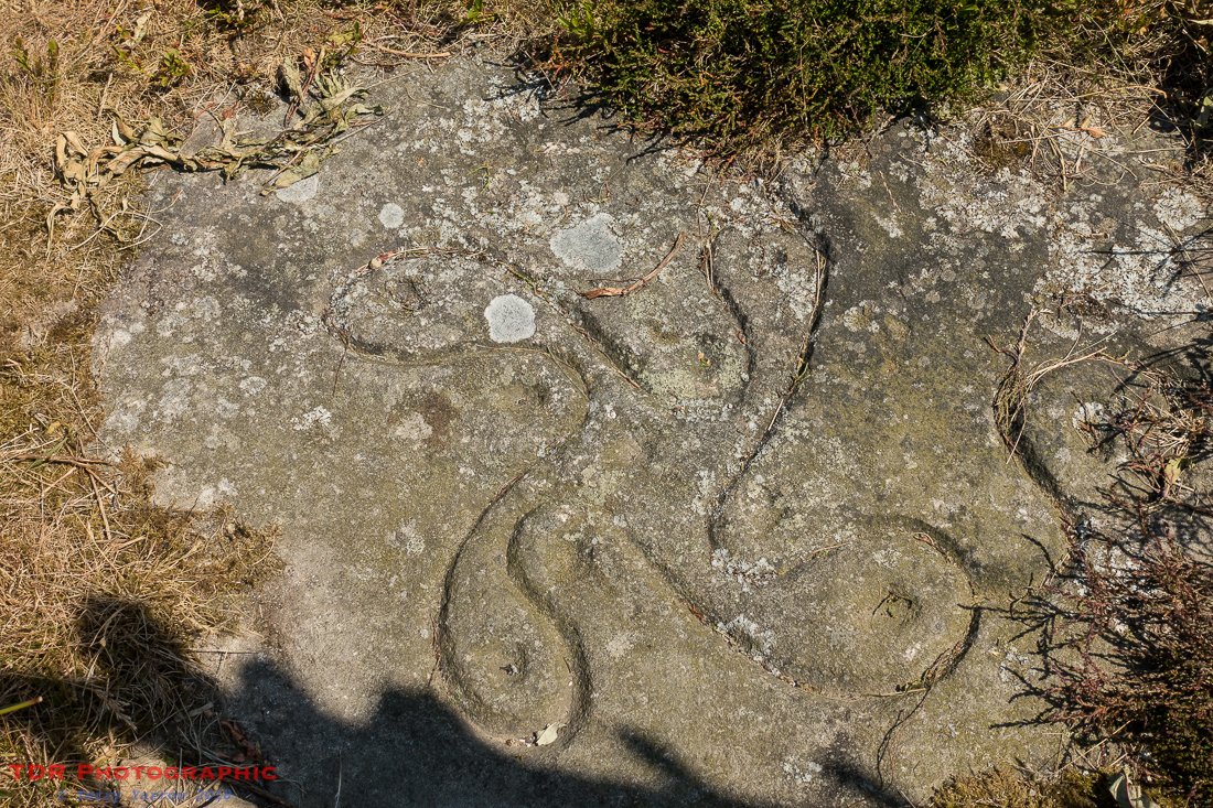
Features such as The Swastika Stone, a Bronze Age marking resembling a swatika carved into a rock at Woodhouse Crag, with a Victorian copy nearby – the photograph below is the latter since the original has become faint over the centuries. This carving is very similar to the Camunian Rose carvings found in Italy so it is thought that the original might have been carved by Roman soldiers.
The views from here were just too good to rush past and I sat on the rocks at Woodhouse Crag for some time – I could have happily stayed there for the rest of the day as it was such a peaceful spot.
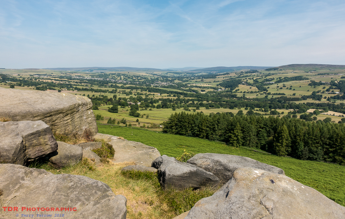
However, all too soon I had to get walking again and I continued to follow the ridge. The views followed me all the way!
Ultimately I reached the end of the ridge at Black Hill and I turned north and dropped down into the valley to reach the town of Addingham. The route actually skirts round the town but I detoured into it in order to find somewhere for lunch.
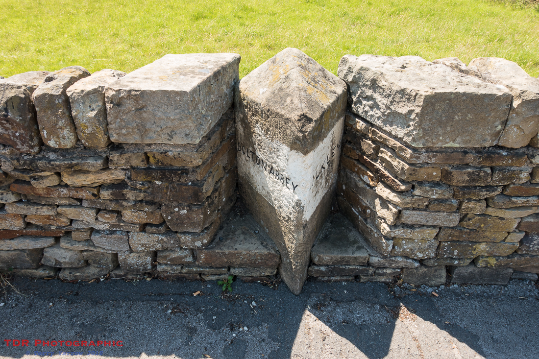
I passed an interesting way marker built into a wall before reaching the town itself and food! I took the opportunity to top up my water supply as well – this was a day for drinking lots!
It was great having lunch. Having been out for several hours exposed to the burning sun on high moorlands with no shade to speak of, it was a joy to find some outside space that was shaded. It wasn’t long though before I had to make my way out of the town and out into the sun again.
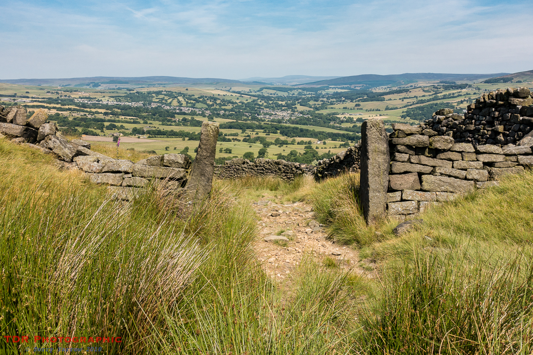
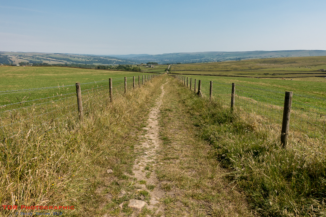
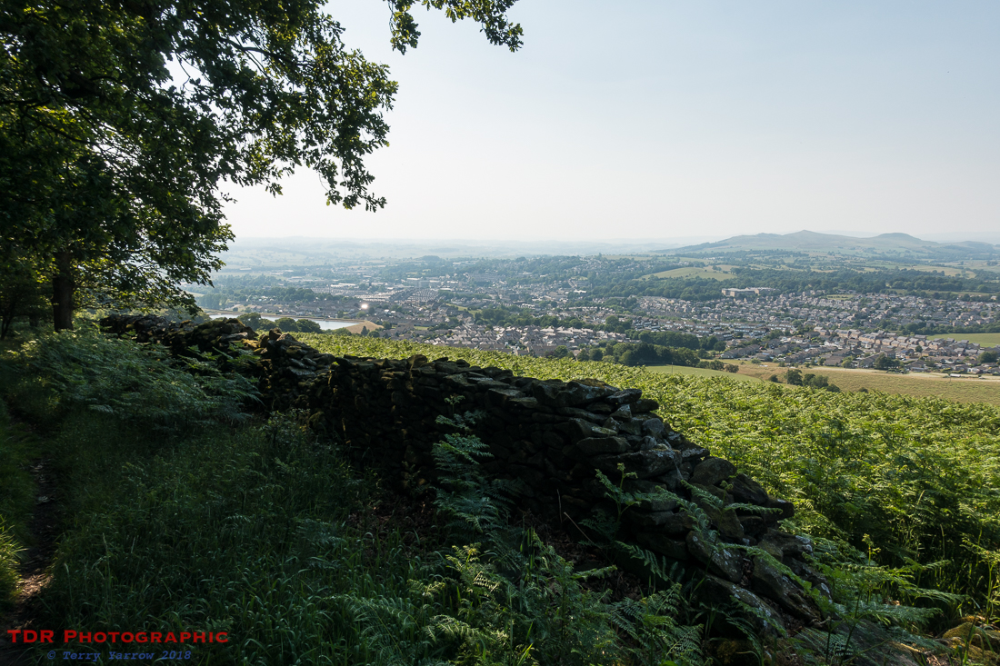
What followed next wasn’t easy. The path out of Addingham climbs steadily and continuously for nearly three miles to reach Draughton Height, initially along a road between dry stone walls, and then on a grassy track. This would normally be an easy climb but in the energy sapping heat, and with a heavy pack, nothing was easy. I stopped to shelter under the occasional tree just to cool off a little, and of course I stopped to take pictures – the picture below is looking back down the track towards Addingham.
Finally I reached the top of the ridge and the path levelled off to become another beautiful, if stony, high level walk across the top. I found a seat and sat for a while so that I could remove my socks and air my feet. This is essential during any day’s walking because it is important to look after your feet – after all, they are kind of essential to the activity! This is especially important on hot days when sweat can so easily cause blisters. The other thing I do is to swap my socks round, just to freshen things up.
Now, I walk a lot so I am already well tanned but today, even I was in danger of burning so I applied sun cream whilst I was there. It is better to be safe than sorry!
The track I was walking was a prehistoric track known as Rombalds Way. It was another of those ancient routes, the medieval motorways, the M1 of the ancient world and as I walked, questions naturally came into my head – Who used this route? What was their purpose? Where were they going? What were they like, friendly, suspicious, threatening? I think it would be great to have a time machine so that you could go back through the centuries and see the people passing along the track, some on foot perhaps driving animals before them, some on horseback, some on carts, maybe even a platoon of foot soldiers with ancient weapons. Their presence still seemed to almost hang in the air as my imagination wandered.
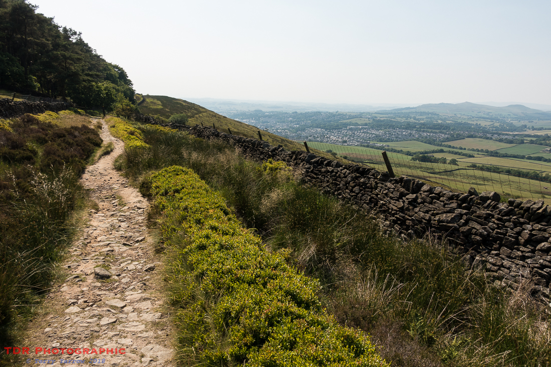
Having crossed the top of the hill, the path started to descend, and what a delightful descent it was as it dropped into some trees. The shade was blissful and sunlight dappled the path in front of me.
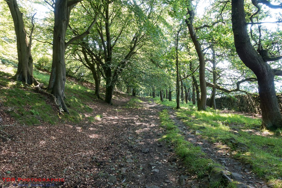
Through occasional breaks in the trees, I could see Skipton far below – that would be my stopping point for the day…..well almost! I knew that there were shops there to enable me to resupply, and particularly an outdoor shop as I needed a new gas cylinder. I hurried down and made it in time!
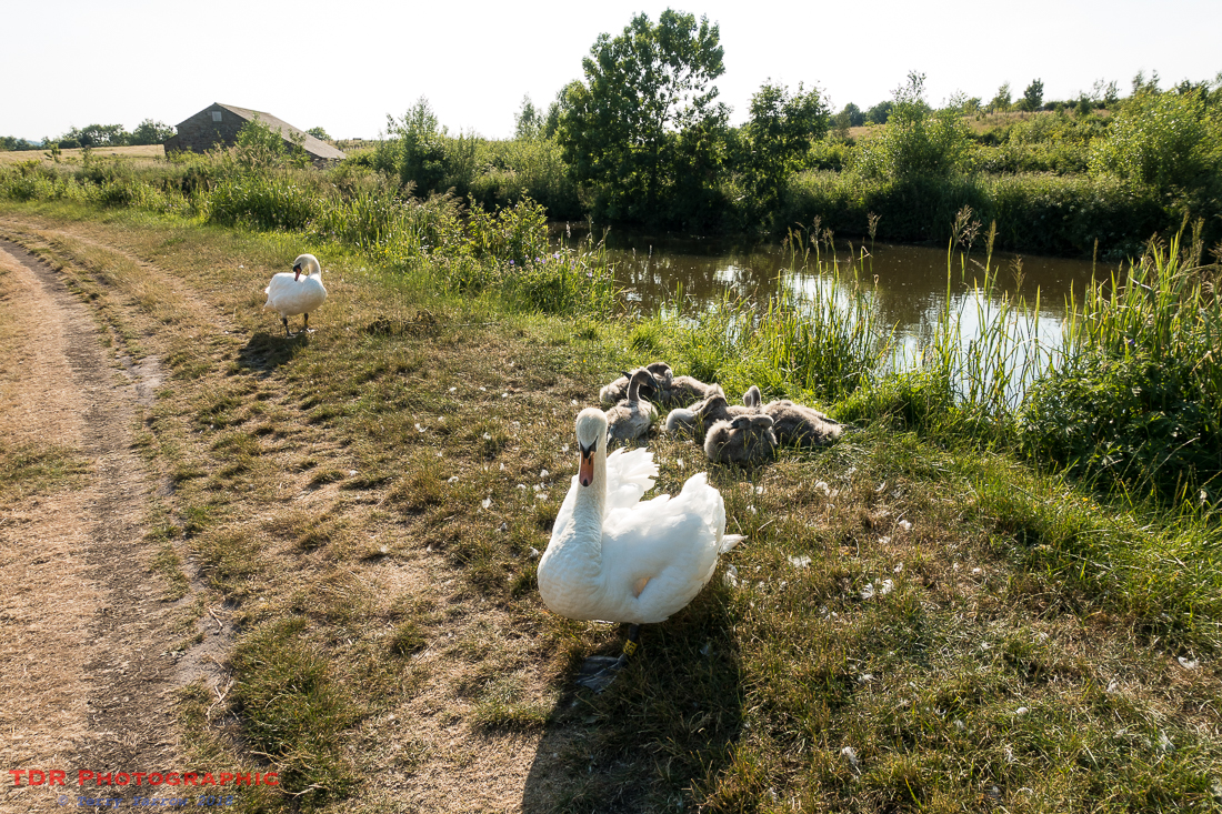
My camp for the night was actually outside Skipton so there was still a mile or more to walk. This was a delightful, flat, evening stroll though, along the tow path of the canal. I came across a lovely family of swans……who, despite my giving them a wide berth, hissed wildly at me as I passed! Not sure I’d want to argue with them!
As the sun was turning to that warmer hue of evening, I pitched my tent. There was road, rail and canal at the bottom of the site but my view was just of distant hills. It was a delightful place to spend the night.
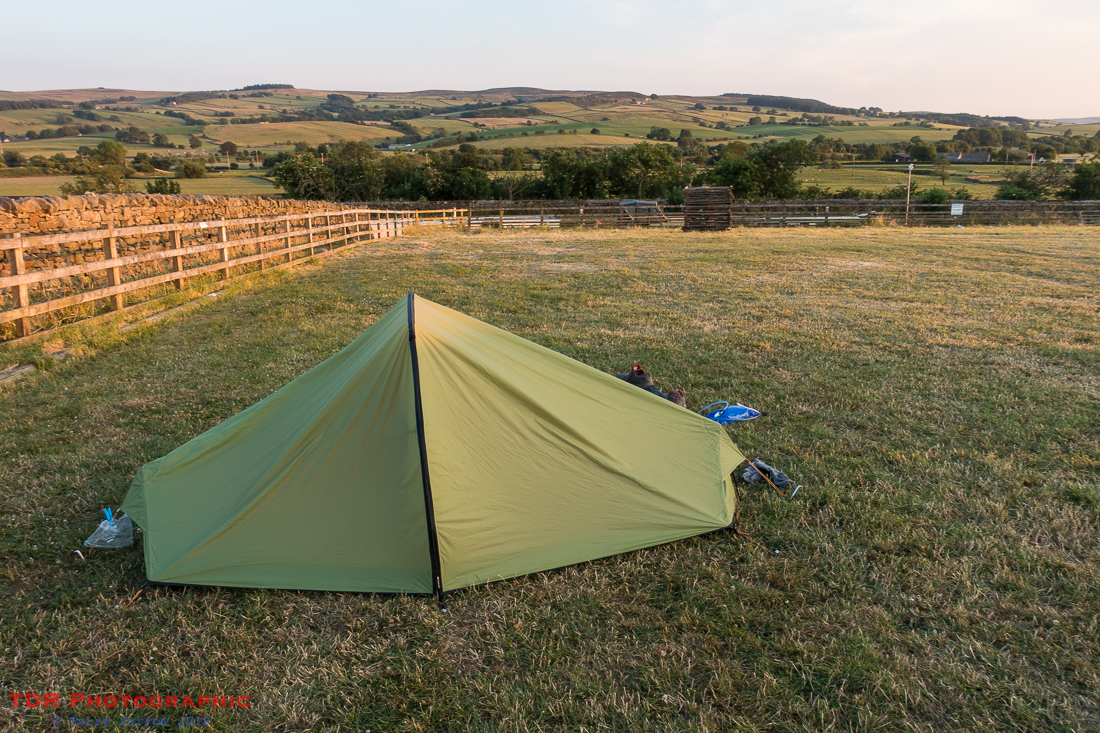
And I was treated to another amazing sunset!
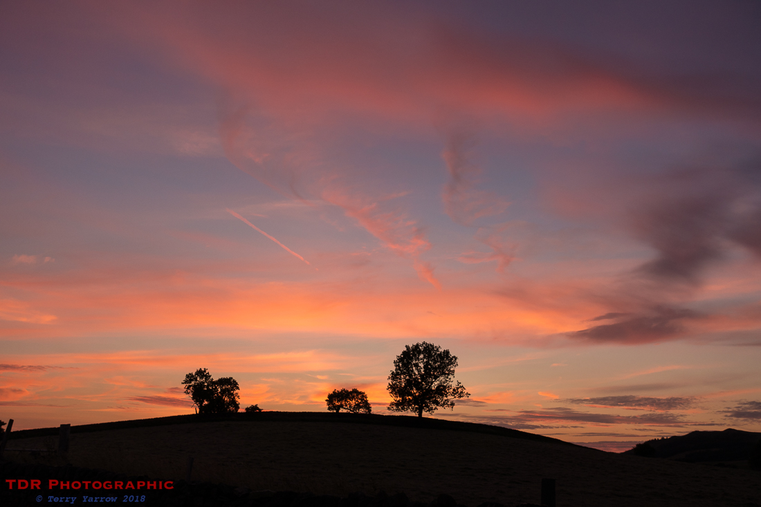
What a great end to an awesome day. Despite the heat, I had still walked a little over 20 miles, crossing some of the best moorlands, with some of the best views imaginable. And this was just the first day! I wondered what the rest of the walk would bring!
Thanks for stopping by.
Until next time,
Your friend
The Dorset Rambler
If you would like to contact me, my email address is terry.yarrow@gmail.com – comments and feedback are always welcomed.
All words and pictures in this blog are the copyright of The Dorset Rambler and may not be reproduced without permission.

Looking forward to the rest of your walk.
Thanks Alan. It’s all up on my blog. It was a great walk.