

The morning dawned bright and sunny with the promise of another good day, and we were looking forward to slightly easier walking than yesterday as the ups and downs were said to be just slightly easier. I’m not sure that we actually found that that was the reality though!
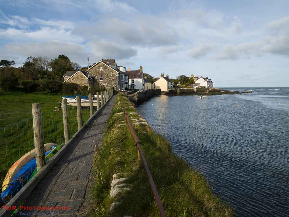
We had a brief walk around Newport before dropping down to the coast path again. This runs beside Newport Bay and passes the Parrog, which is the town’s old port. It is hard to imagine that at one time this was a thriving and active harbour, a far cry from the quiet and peaceful place we were walking through. Back in the 1800’s, slate, herrings and woollen goods would have been exported from here, and there was also a shipbuilding and repairing industry. The silting up of the estuary put paid to those activities.

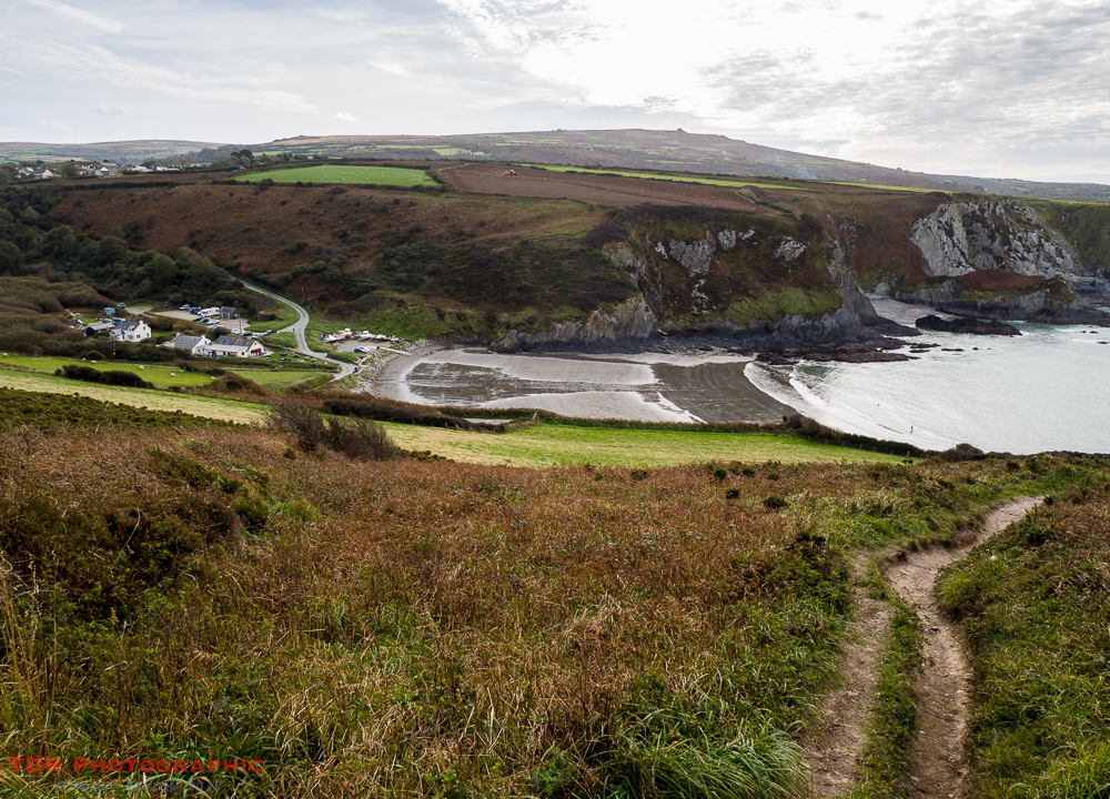
Looking across the bay, we could see the headland we walked around last night at the end of a hard day’s walking. Seeing Newport in the distance was a welcome sight then. Now, we were about to leave it behind again as we made our way along the beach, a part of the coast path that is only available at low tide. The alternative takes a slightly more inland route.
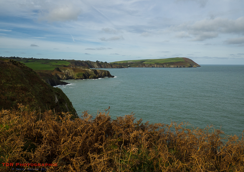
The main challenge today would be climbing up over Dinas Island, which is in fact not an island at all. This headland is pentagonal in shape, with one side attached to the mainland and four facing out to sea. Its rather distinctive shape stood out across the water as we walked, as if it was beckoning us to visit.
This was to be another day of climbs and falls, and of many craggy inlets to be negotiated. This meant constantly weaving in and out and up and down, adding many more miles to the distance a crow might fly when travelling from Newport to Llanwnda – although I am not sure why a crow would want to fly that route anyway 🙂 !
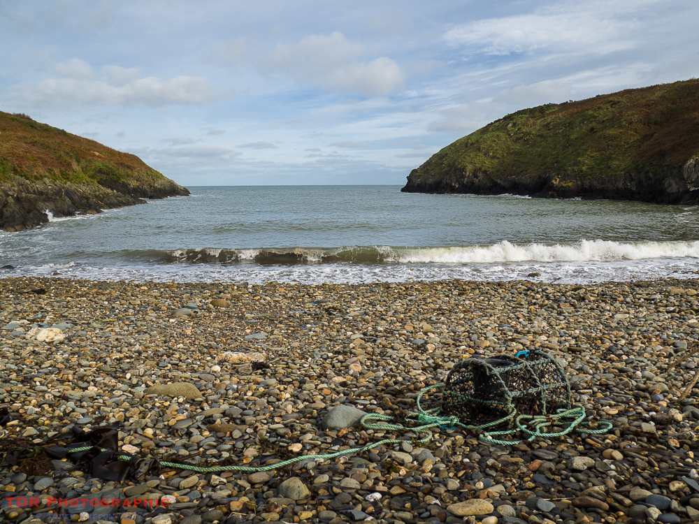
We dropped down to sea level to reach the first of many beaches we would cross that day. This was Aber Rhigian, a remote pebble beach with nothing but a few washed up relics like the debris in the picture below. In truth, this and all the beaches along this first stretch are partly man made because slate was once quarried here. I say slate because that is what it is called locally but in fact it is actually shale slabs.
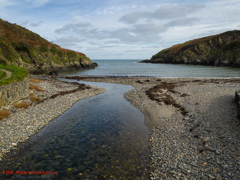
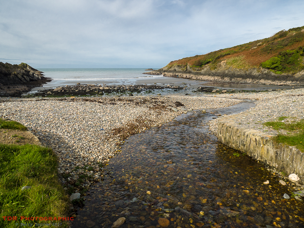
Shortly after, another beach came into view. This one was Aberfforest, a delightful cove with a stream running down the valley to exit into the sea. It doesn’t take long to realise that all these beaches bear the name ‘Aber’, which is a Celtic word meaning ‘confluence of waters’. We looked out to sea again in the hopes that dolphins or porpoises might be swimming but there was no sign of any.
We moved on, once again climbing out of the bay and onto the clifftop where we could see Dinas Island getting closer.
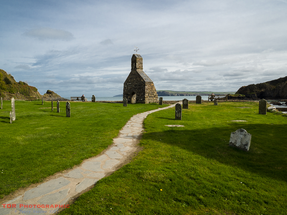
Eventually we reached the start of the ‘island’ and a remarkable place known as Pwll-yr-eglwys which literally translates as ‘the valley of the church’. The church in question is St Brynach the Abbot, and at one time this holy building could seat 300, that is until 1850/51 when stormy seas destroyed the chancel and undermined the foundations. There was huge damage to the graveyard too, with human remains being exposed by the deluge. Some nine years later another storm further damaged the building leaving it in a state that was beyond repair and it was abandoned. The ruins remained in place until 1880 when they were demolished, with the exception of the west wall, in order that a sea wall could be built to protect what was left of the graveyard.
Pwll-yr-eglwys is a truly delightful place. It just oozes peace, tranquility and stillness being nestled between protective headlands and sheltered from Westerly winds. A line of benches looks out across the sandy beach and out to sea, and they called to us to sit awhile.
All too soon, it was time to move on and we made our way out of that idyllic place and started our climb up and around Dinas Island. The undulating path here was soft underfoot and made for pleasant walking, especially with the amazing views that greeted us all along the way.
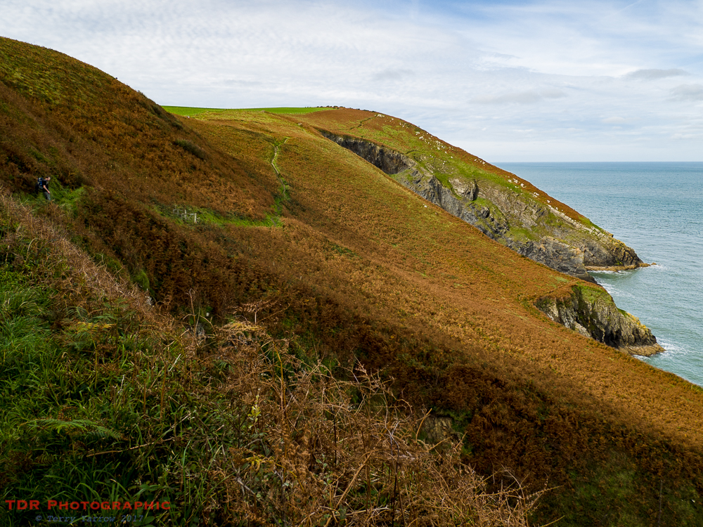
Autumn coloured bracken contrasted beautifully with the blue of the sea and sky, and as we climbed higher, we could look back to Newport where we started out our day.
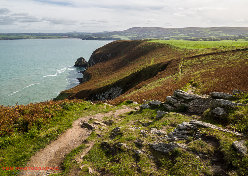
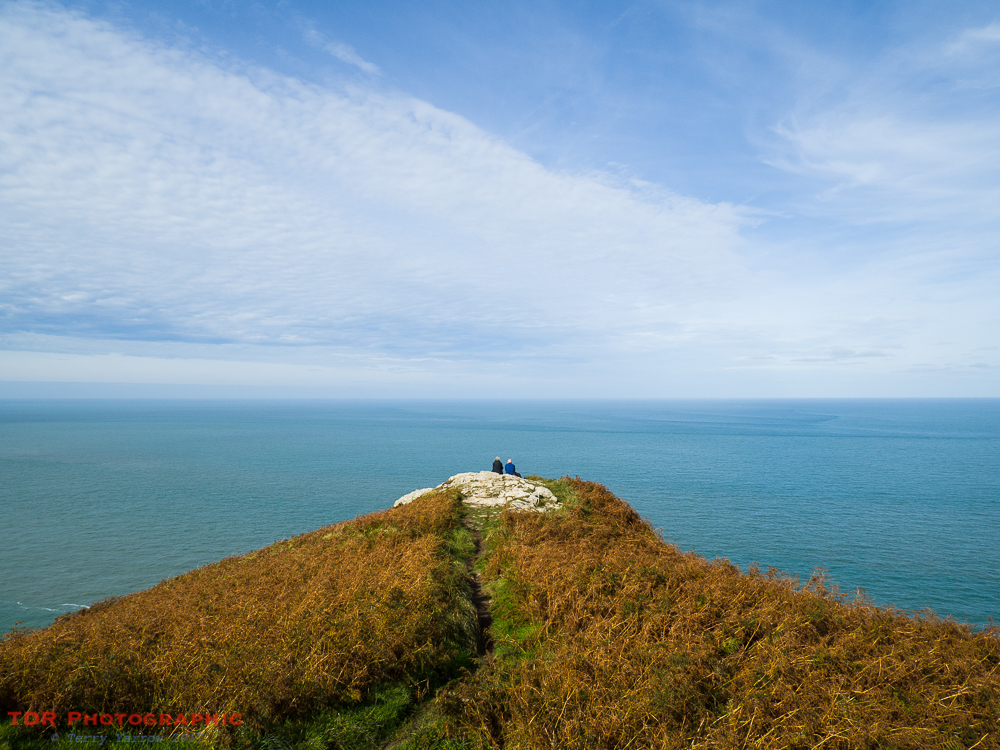
This is a popular part of the coast path because there is parking nearby and circumnavigating the pentagonal headland makes a great 3 mile walk. We passed numerous dog walkers and day trippers on our way up to the high point of the headland, Pen y Fan at 466 feet. We just had to stop and drink in the views from this lofty vantage point. In fact, that is one of the problems with walking this coast, there is just so much that you want to tarry over and absorb that time seems to just disappear.
We had to move on, and we made our way round and down the westerly side of the headland to reach Pwllgwaelod, another sandy beach, albeit one that this time was exposed to the westerly winds. In fact you could avoid climbing the headland altogether by simply following the valley that leads directly from Pwll-yr-eglwys to Pwllgwaelod, one side of the pentagon instead of four……but, really, why would you!
We reached sea level again, and couldn’t help noticing that there was a pub near the beach that served teas. Now, normally when I’m walking, I try to avoid the more commercial parts, but today the draw of a good cup of tea was too strong so we stopped for a brew 🙂 ! And what a great spot to enjoy a cuppa too, sat at a picnic table gazing out to sea.
Refreshed, we climbed up once again onto the clifftop to pass a place with an even more unpronounceable name, in fact, a name with no vowels in it at all, Pwll Cwn. I’m sure the name makes complete sense to a welsh person, but to an Englishman……!

It was along this section that we bumped into two fellow walkers coming the other way. We had passed the same two yesterday and just exchanged greetings. This time we stopped to chat. These two were walking the same route as us but doing it in a slightly different way – they had two cars and each morning they would drive in one car to their next overnight stop and then walk back along the coast path to reach the previous night’s stopping point and the second car. They would then drive to that nights stopping point to join the first car. We bid farewell knowing that we would see them again tomorrow.
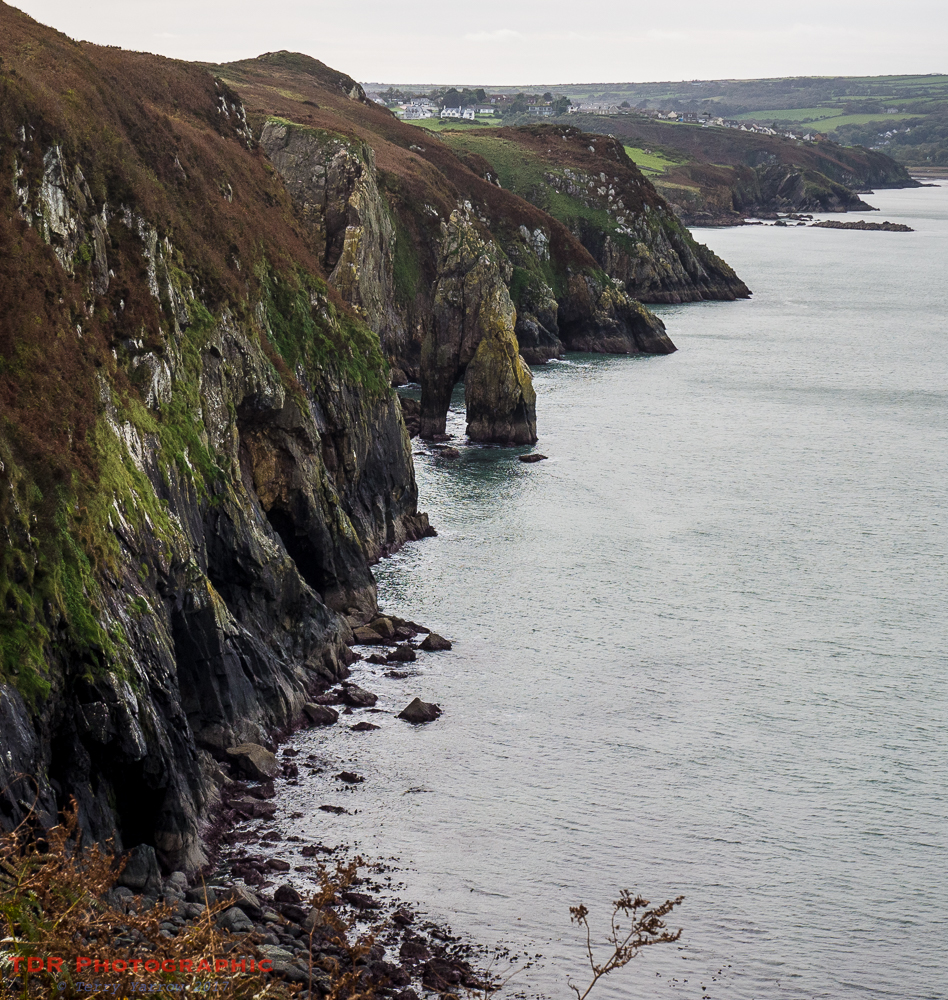
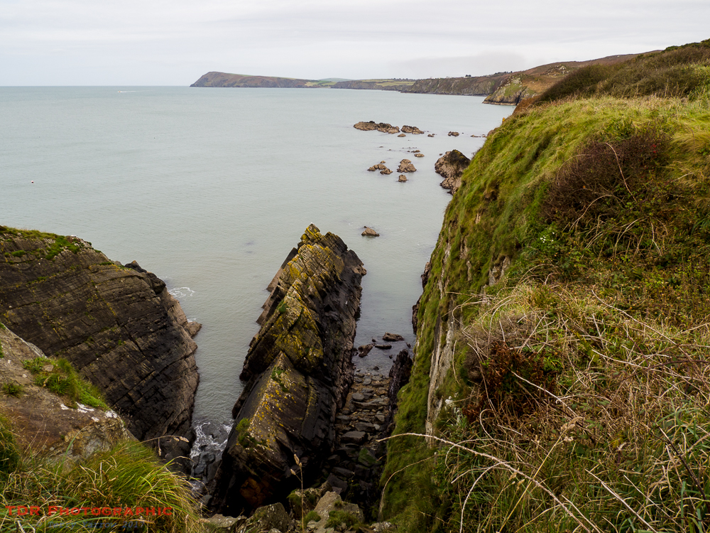
This section was again full of geological features, dark shale cliffs, lots of creeks, offshore rocks and stacks, and little beaches such as Pwll Gwylog and Aber Bach. The latter is sheltered from the westerly winds and because it is not easy to reach, is very unspoilt.
One of the more famous stacks along this section is the Needle Rock which stands just off the cliff face. With its ‘eye’, it looks for all the world like a needle that has been pushed into the sea bed. In the distance, we could see houses, a tell tale sign that we were approaching civilisation in probably the largest conurbation to date, Fishguard and Goodwick.
We would reach that all too soon but not before passing yet more craggy inlets and mini ‘islands’. Looking back, we could see in the distance the distinctive shape of Dinas Island again.
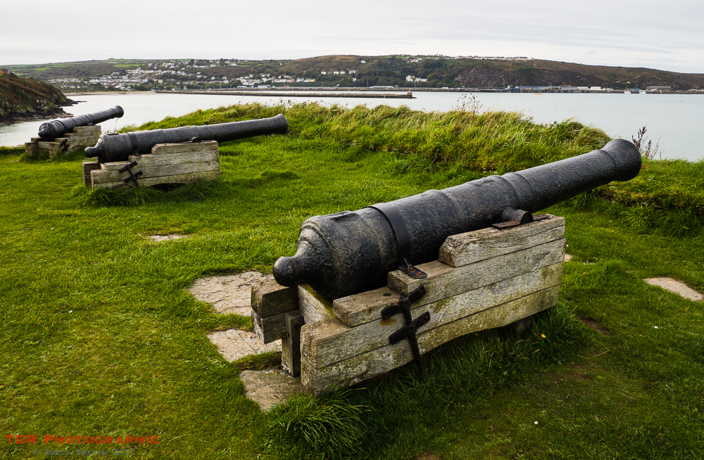
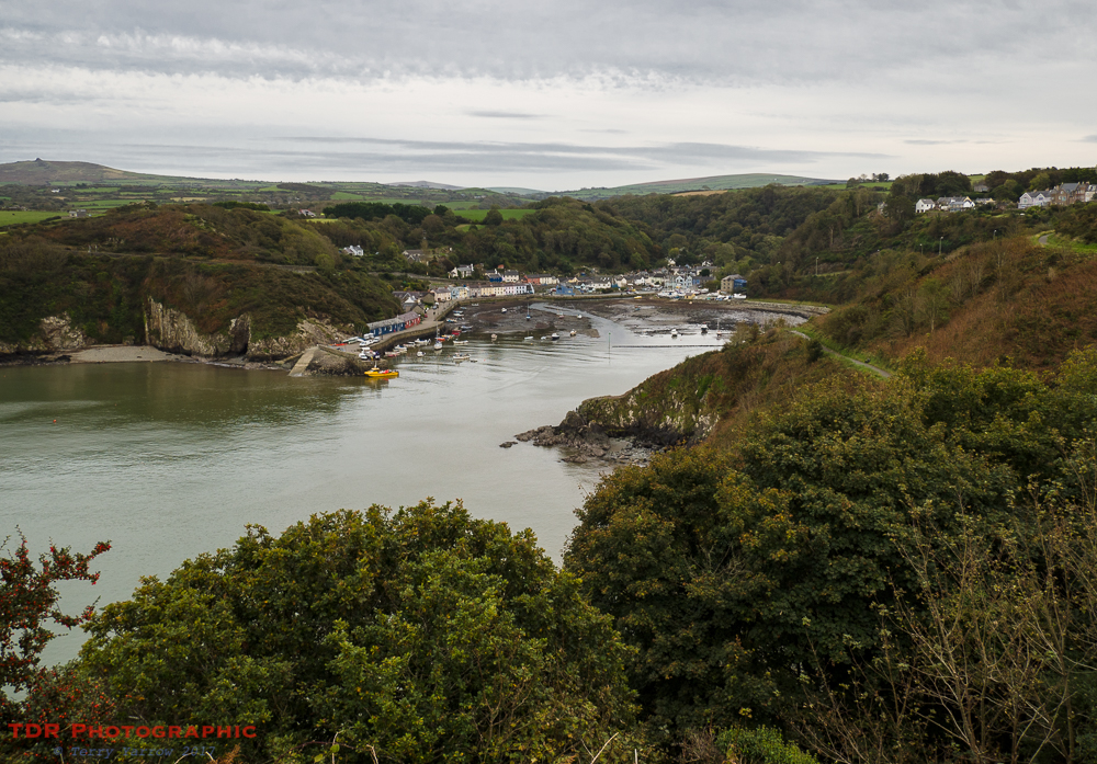
The first sign that you have reached Fishguard and Goodwick is the old fort that stands at Castle Point. Fishguard Fort was built in 1781 to defend the local community against privateers, although at that time this was a much smaller settlement. Then, the main settlement was Lower Town, another coastal trading harbour, shipbuilding centre and fishing port. This has now been very much superseded by its larger neighbours of Fishguard and Goodwick – it is from Fishguard Harbour and it’s jetties that the ferry to Ireland comes and goes.
From the old fort, our route took a sharp turn south and we made our way to Lower Town and onto the Marine Walk, a tarmac path that rounds Saddle Point to reach the town of Fishguard which then very quickly blended into Goodwick. One strange anomaly here is that Fishguard Harbour is actually not in Fishguard but Goodwick.
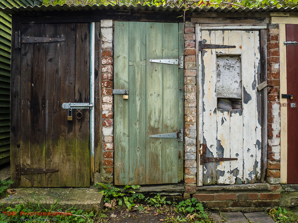
Along the way here, we passed some interesting old outhouses so being a lover of quirky things, I grabbed a picture 🙂 !
Looking back from Saddle Point, we could see the old Lower Town below us, settled neatly around its sheltered drowned valley. You could see why it had once a port, and perhaps why it had faded with the coming of much larger vessels.
One of the problems with such an unspoilt coastline is that facilities along the way are few and far between so there is always a need to think ahead. One of the very few shops along this four day stretch was at Goodwick so we stopped to stock up on food. We knew also that there was nowhere to eat at Llanwnda, our overnight stopping point, so with the light fading, we decided to eat at Goodwick which actually made a lovely end to the day as the meal was delightful.
In the two days that we had walked so far, we had covered nearly 34 miles, and what fantastic miles they had been. As we made our way to our overnight stop, we wondered what tomorrow would bring!
Thanks for stopping by.
Until next time,
Your friend The Dorset Rambler
If you would like to contact me, my email address is terry.yarrow@gmail.com – comments and feedback are always welcomed.

Marvelous! Thank you for taking us along with you on this walk!
Thanks Michael, glad you enjoyed it.
you seen any seals?
Yes, we saw a number but not as many as last autumn when we walked the first section.
First time I saw a seal was around that way. Stepped off the path and onto a beach. Something panicked and I thought “What was that?”. Then the eyes came out the water…
Most of the ones we saw this time were in the water. Last year, they were on the beaches sun bathing 🙂
Some nice ones on Gower too. This one seemed to follow me
https://certainmeasureofperfection.wordpress.com/seals-of-worms-head/