

It’s pouring with rain outside, so finally I have got round to looking back on my walks, and rides, over the summer! It has been such a great summer when I have wanted to be outside as much as possible rather than sitting at the computer, hence the lack of posts recently. Mind you, there is another issue coming up – I am getting close to reaching capacity on my blog and I don’t really want to pay to upgrade………but that’s a problem for another day. For now, we are visiting the Pembrokeshire Coast Path which I backpacked with my son and daughter back at the end of June.
If you follow my blog, you may remember that I backpacked the whole route alone in 2014 with my tent, and that over the last couple of years I have walked the first two sections again with my son, Paul, – we walked from St Dogmaels to St Davids two years ago, and St Davids to Pembroke last year. This year, our walk coincided with my daughter, Sarah, being in the UK so the three of us set off to walk the final section over 4 days towards the end of June.
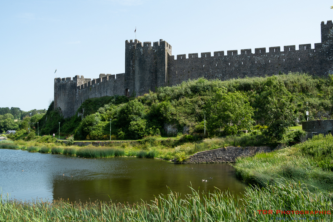
It was an early start as we had to drive from Dorset to Pembroke, picking Sarah up on the way as she had been in Wales overnight. It was nearly 11am by the time we parked and took our first steps, passing Pembroke’s magnificent 11th century Castle.
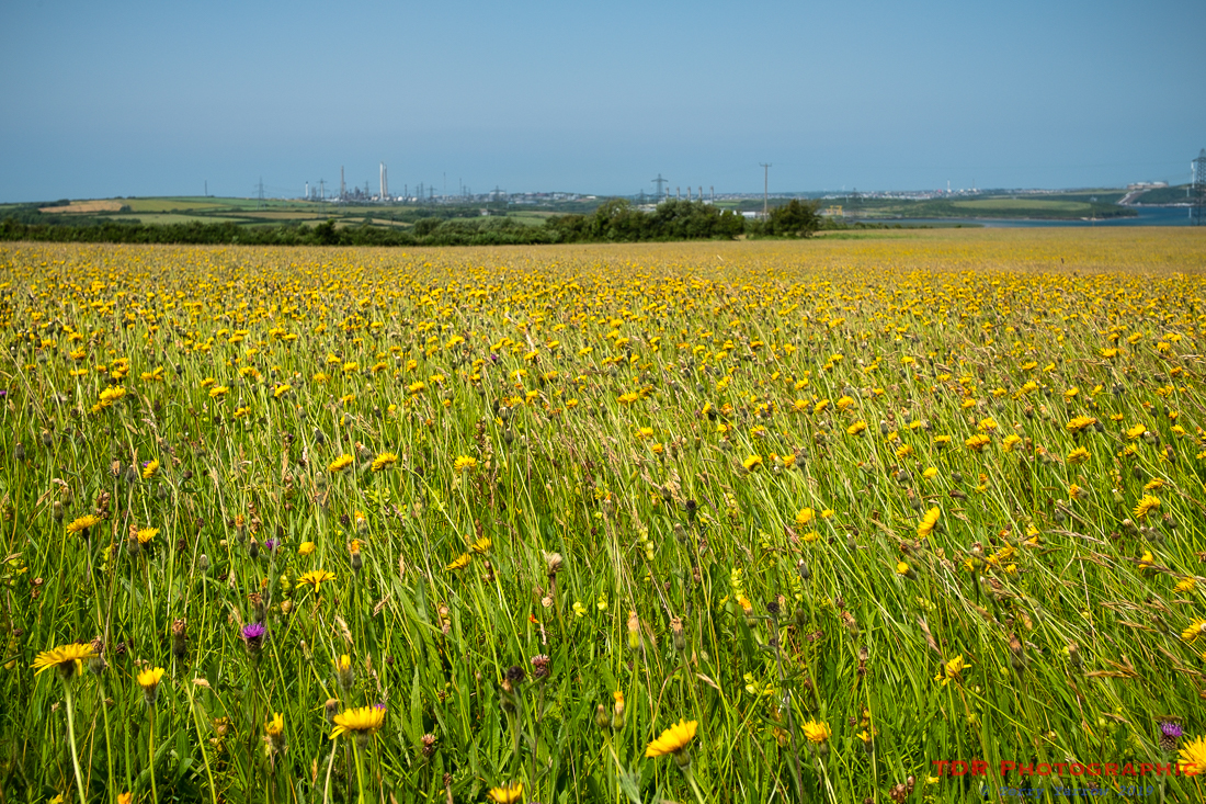
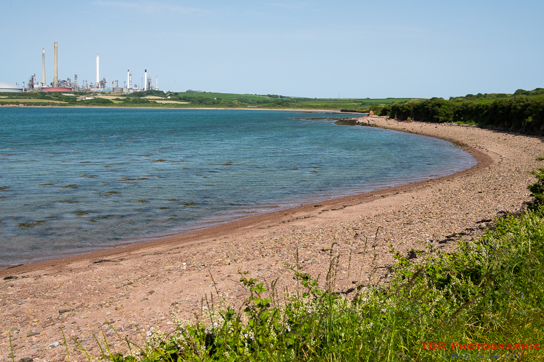
Pembroke stands at the landward end of the Milford Haven inlet, a massive harbour used down the centuries for fishing, industry and shipbuilding. Both sides of the inlet are littered with refineries and when walking the coast path, the inlet takes almost two complete days to navigate. We walked the first half at the end of our walk last year and were walking the second half on the first day this year. It is interesting for those who are fascinated by industrial hinterlands but it is not the true wild coast that Pembrokeshire is famous for.
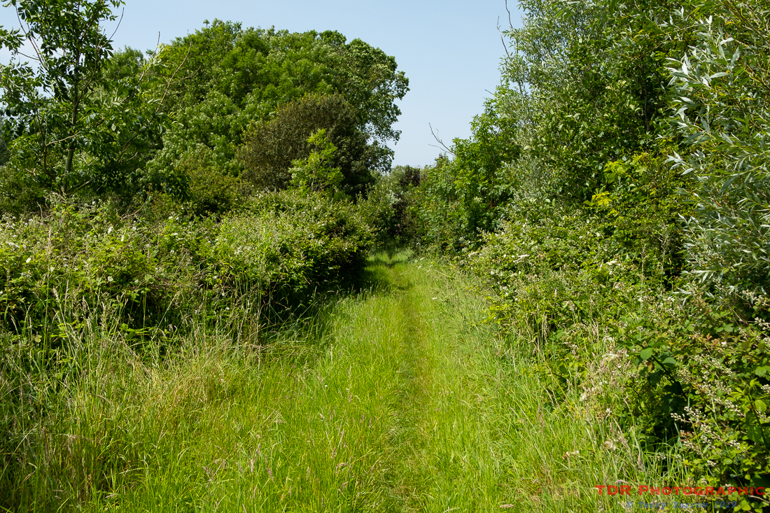
That said, there are still many beautiful parts along the way, such as huge meadows and lovely leafy paths. Evidence of refineries is never far away although when the path is surrounded by trees, you could at least forget them for a time. Apart, that is, from when we approached Pwllcrochan where we could hear the refinery before we saw it, or rather we could hear the roaring of the fires at the top of their very tall, slender towers. These giant candlesticks are known as Flare Stacks and are there to burn off the waste gas. Whilst not great for the environment, I guess it is better than venting the gas into the atmosphere!
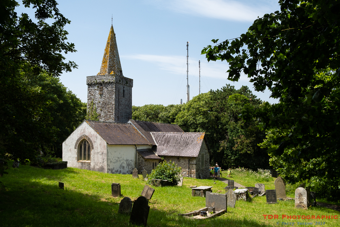
We made our way towards the roar and came out to St Mary’s Church, Pwllcrochan. Dating from the 14th century, and standing right next to a large refinery, this lovely old one-time church is now a community facility used by school parties etc. There was a party using it on this day so we were able to have a peep inside before moving on to find somewhere for lunch.
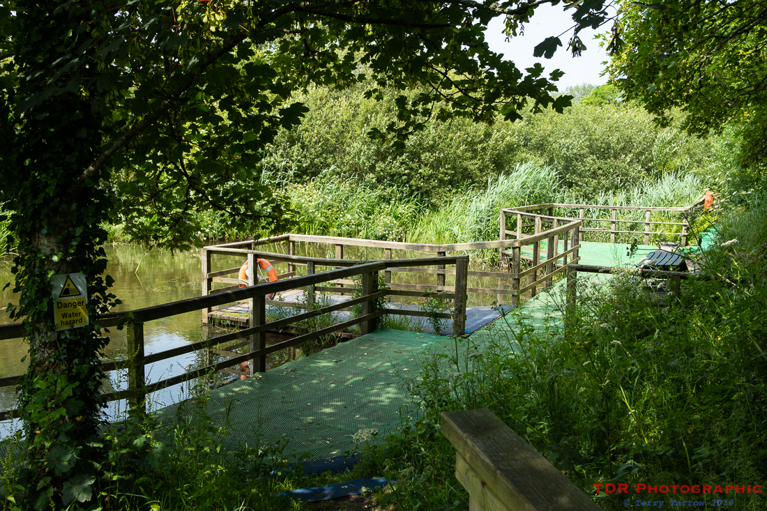
We didn’t have to go far because between the church and the refinery is a nature reserve, including a series of ponds and importantly, some seats 🙂 ! We sat and ate whilst watching lots of dragonflies, chasers, water boatmen, and many other bugs and birds go about their business. It was a lovely spot but we still had a lot of walking to do.
Leaving our lunch spot, we made our way out onto the path again, only to find it had been closed by the police! Not wanting to take a long detour, I approached one of the policemen and asked if we were able to go through the barrier and fortunately, he said we were, but he advised us to stay on the path. Apparently, an unexploded bomb had been found just off the coast and I think the barrier was aimed more at fishermen who might go into the water. We weren’t intending to go for a swim, although on such a hot day as this it might have been welcome, so we continued on our way.
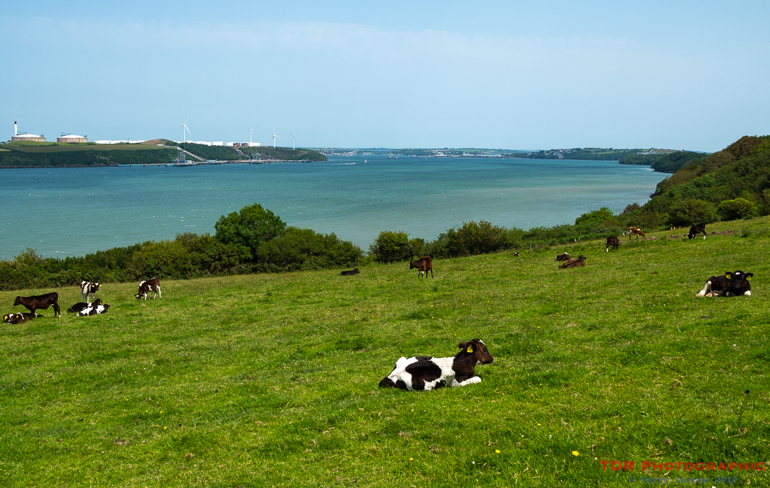
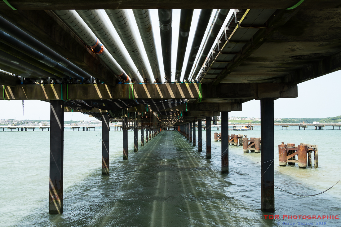
It wasn’t long before we reached the shoreline and could look back up the inlet to see Pembroke Docks and the Cleddau Bridge in the far distance. Nearer to us was a field of young cows – clearly refining and farming make good bedfellows because at the bottom of the field, we walked under one of the jetties carrying the pipelines leading to the refinery.
Eventually we left the refineries and industry behind and came out to Popton Point where Fort Popton guards the seaway. Built by the Victorians, this old fort, one of many, has left its military roots and is now a research centre. Importantly for us though, reaching this meant that we were through the industrial part and were once again faced by the wide vistas of the open coast at Angle Bay.
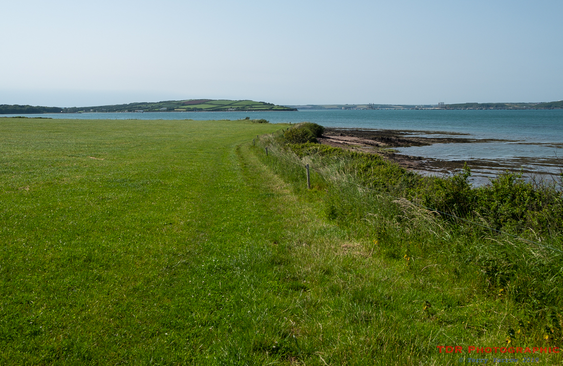
Although, the refineries are not far away, Angle Bay is beautiful. In fact, it is probably more beautiful because it marks the coming of the wilder coast again – I well remember reaching this point on my first foray to Pembrokeshire, the relief of coming out onto the open coast again after two days of industrial hinterland was tangible! Unfortunately for us, on this day the tide was in, but if you reach it at low tide, there are acres of mud flats occupied by all manner of waders. Even with the tide in, it was still a good place to sit and air our feet for a time – this was a hot day!
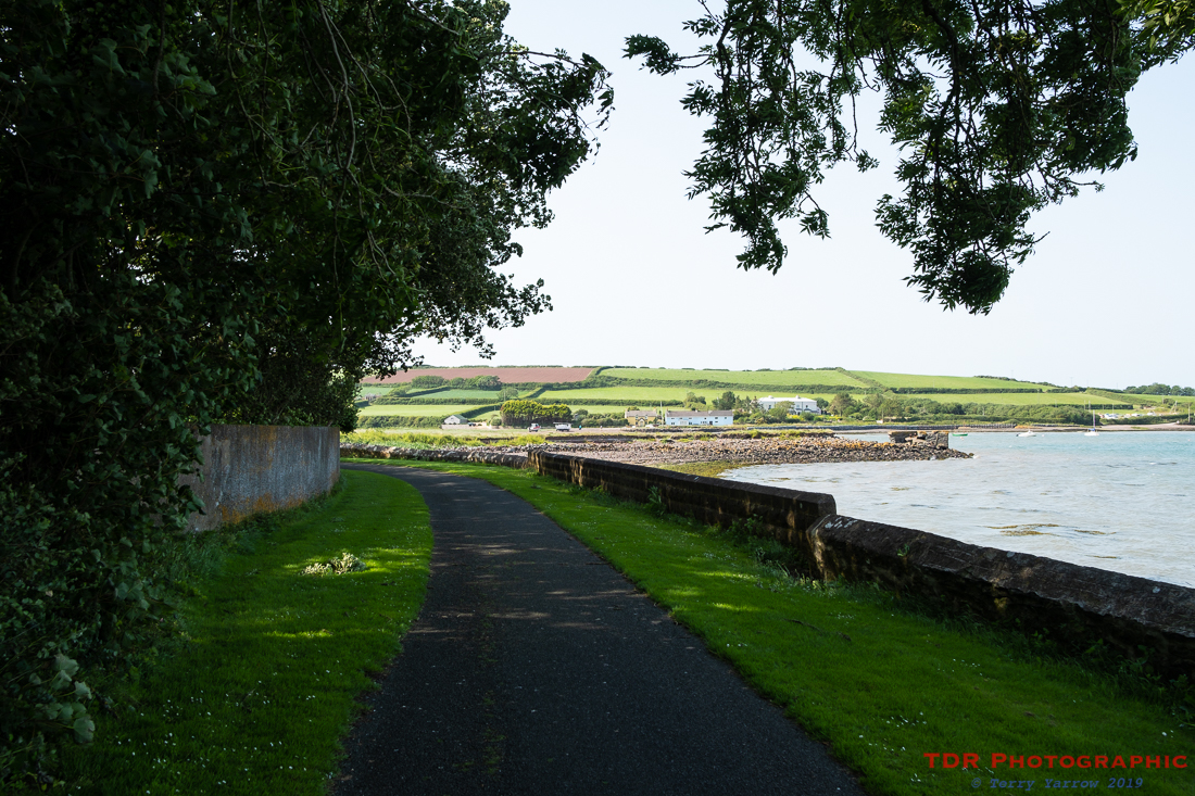
We continued to make our way around the large semi-circle of Angle Bay on a mix of tarmac and fields, all with lovely views straight out to sea. In the end, it was something of a relief to be approaching the village of Angle and to be able to walk under the shade of the trees for a time.
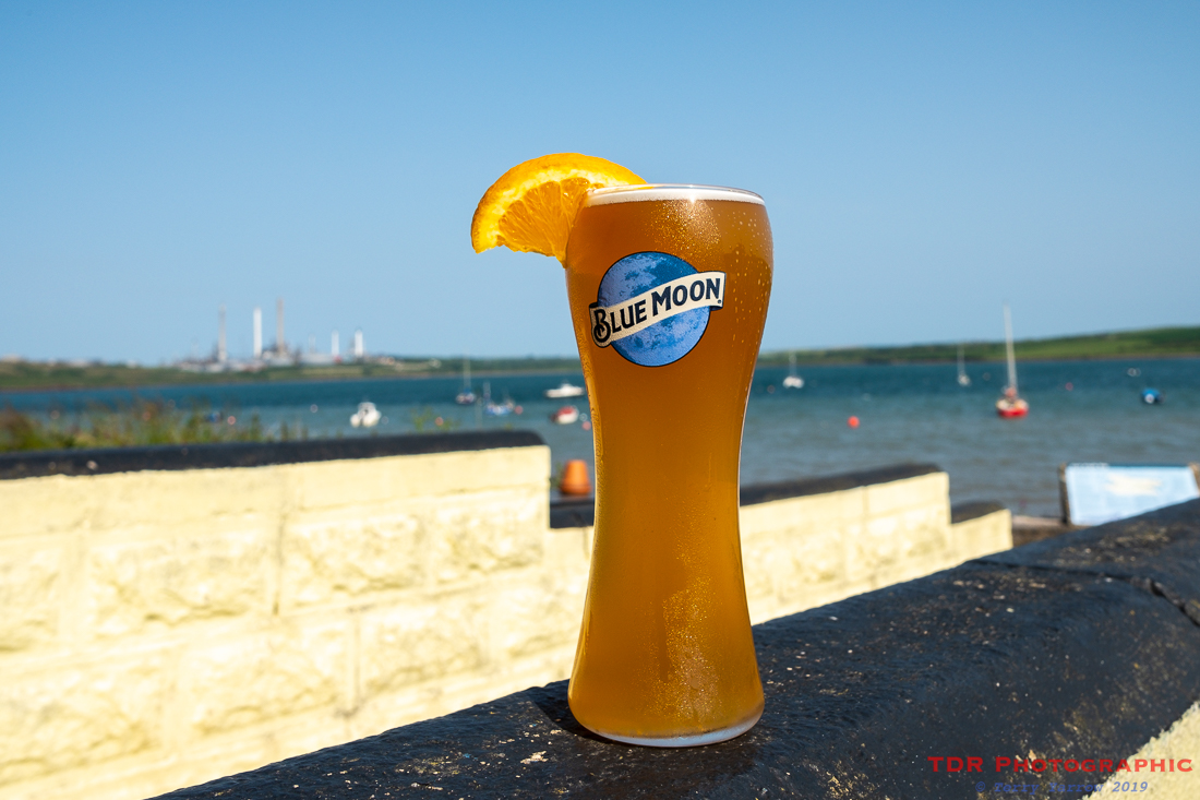
We didn’t linger in Angle itself but continued out the other side towards Angle Point where we found the Old Point House Inn. This lovely old inn has been feeding and watering people for over 500 years and the garden looks straight across the bay. Five years ago, I pitched my tent in the garden, but today, we just stopped for a welcome drink.
Having refreshed ourselves, we had a wander around Angle before finding somewhere for a meal.
One of the problems with the Pembrokeshire Coast Path is an occasional lack of accommodation. On this night, because of a local event, the rooms had all been taken which meant that we had to look elsewhere for somewhere to stay. We found a B&B a few miles away and they offered a pick up and drop off service so as we finished our meal, I rang them to say we were ready to be collected……..well, I did when I finally managed to locate a square meter of ground where I could actually find a phone signal 🙂 !
A 14 mile walk wasn’t bad for the first day but we all knew that tomorrow would be longer. Never-mind, for now, we had comfortable beds to sleep in 🙂 ! And the folk at Corston House B & B could not have been more helpful – we had a great stay.
Thanks for stopping by and reading my ramblings, and I hope you enjoy exploring with me.
Until next time,
Your friend
The Dorset Rambler
If you would like to contact me, my email address is terry.yarrow@gmail.com – comments and feedback are always welcomed.
All words and pictures in this blog are the copyright of The Dorset Rambler and may not be reproduced without permission.

2 Comments