

– – – Exploring The Countryside and Lanes of Dorset – – –
So, we are continuing the theme of ‘Quirky Dorset’ today, highlighting places and people that are strange, a bit off the wall, or just plain mysterious, and this one fits well into the last category. This is one of Dorset’s mysterious places, somewhere that just makes you wonder about its history, who passed through here, what was their purpose, and what was their life like. At least, that’s what it does for me, and its a place that somehow draws you back time and time again. This is the Dorset Gap.
The Dorset Gap
The Dorset Gap, or Dorsetshire Gap as the OS have it on their maps, is a ‘gap’ or more precisely a dip in the chalk ridge that runs across the south of England and known as the Dorset Downs. These downs are actually an escarpment with a steeply sloped northern face and a more gently sloping southern aspect. The ridge effectively forms a barrier to traffic moving north to south and vice versa and there was a natural tendency for people and animals to cross the ridge at a lower point. Perhaps as a result of this, some five paths converge on this one point to form what was effectively an ancient ‘spaghetti junction’, a meeting point of medieval motorways.
The paths that meet here were part of the ancient network of super highways that criss crossed this wonderful country and they were very active from the Middle Ages right up to the 19th century when other forms of transport took over. Indeed, the path that runs along the top of the ridge from east to west is part of a much longer ancient route that stretched from the Devon coast right to the Norfolk coast. This was a very important trade route, and the Dorset Gap was a very important crossing point.
It is possible that these routes even predate the Middle Ages since there is much evidence in the area of older settlements in the form of hill top cross dykes, burial mounds, an Iron Age hill fort, and the remains of a settlement in the valley to the south.
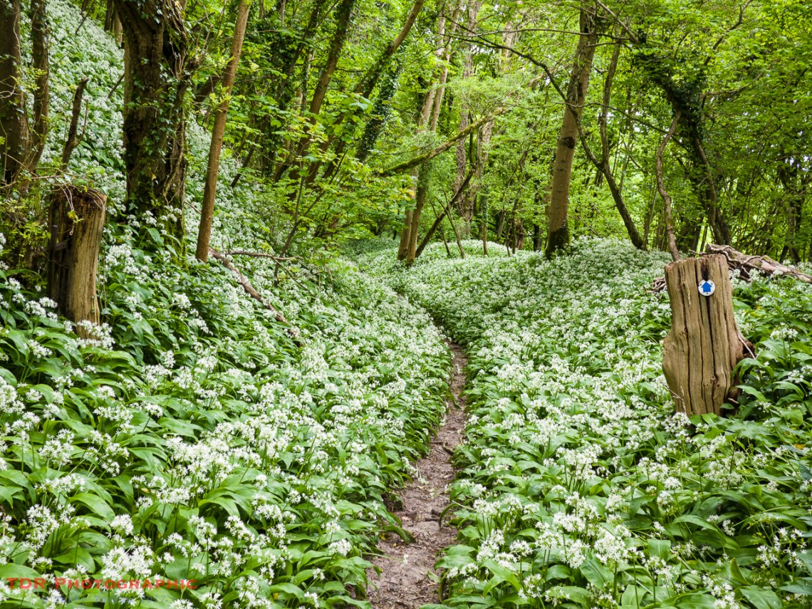
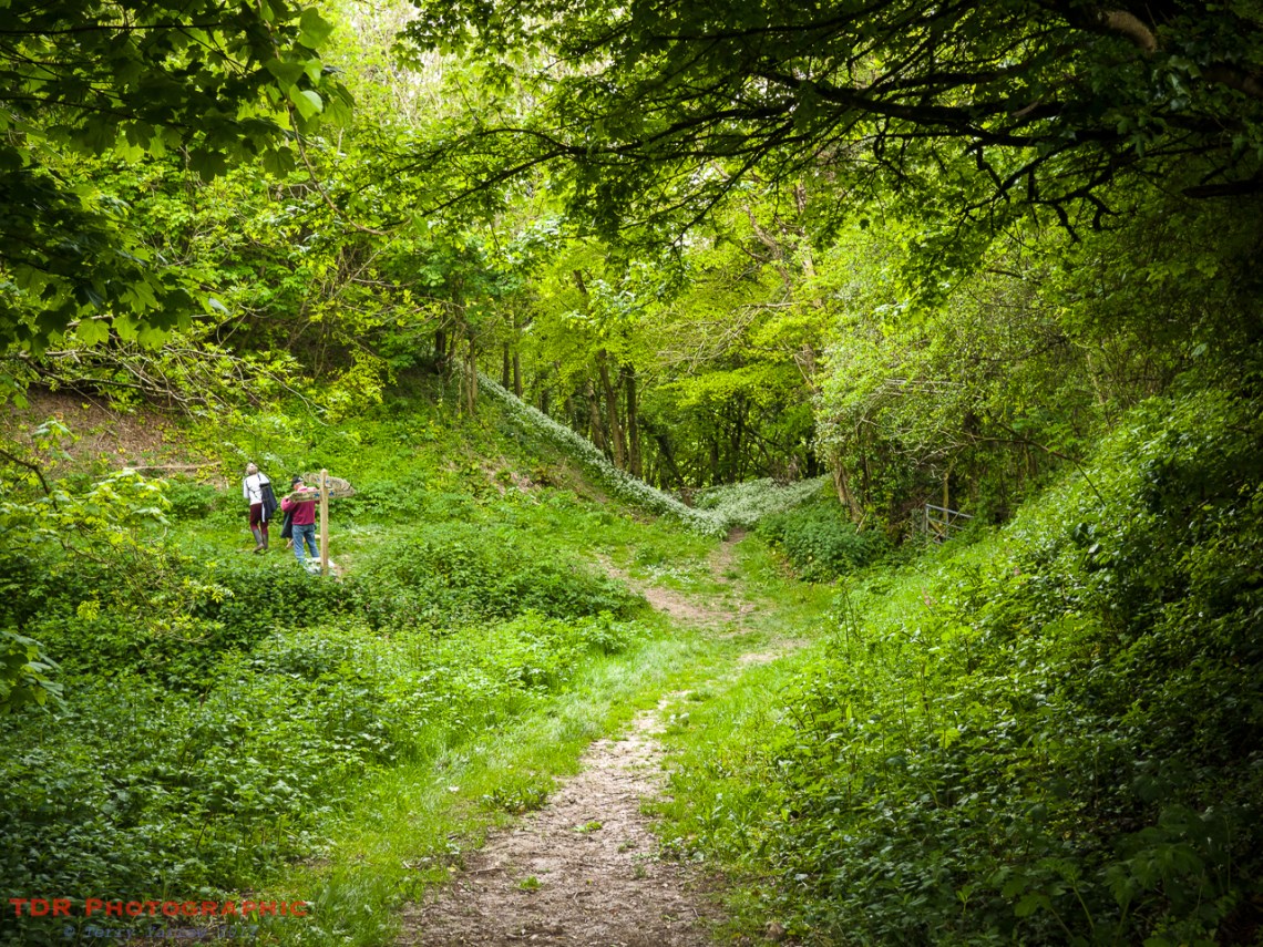
The paths around the Dorset Gap are well worn having withstood centuries of feet, hooves, cart wheels, packhorses and so on, as goods and animals were moved around the county and farther afield. Some would have been moved along the ridge top trails towards Devon to the west or Wiltshire to the east and many would have dropped off the ridge at this point, perhaps moving north to pick up other drove trails. Thus the paths have gradually been eroded away to become Holloway’s, sunken paths with steep sides. I have blogged about Holloways many times.
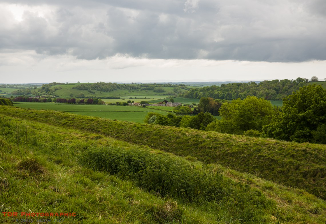
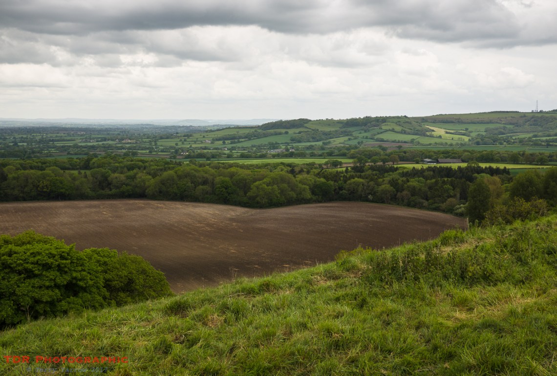
When I visited the Dorset Gap this week, the sides of the sunken lanes were laden with ramsons, wild garlic, and it was just wonderful walking these beautiful paths to the accompaniment of bird song. There is no real view from the Gap itself since it is surrounded by trees, but climb just a short way up to the top of the ridge beyond and the views are simply amazing. To the north, the view stretches for miles across the Blackmore Vale, and to the South, the view stretches across the valley with the hamlet of Higher Melcombe in the centre. It is at Higher Melcombe that the remains of the ancient settlement lie. It is at Higher Melcome also that the manor house sits, to which this land belonged.
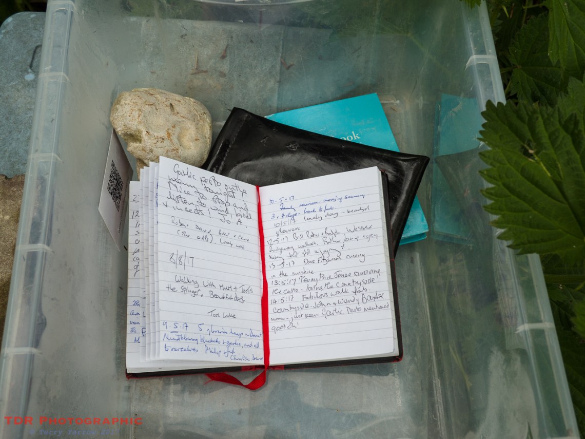
One of the slightly quirky things about the Dorset Gap is that there is a visitor’s book which is kept in a plastic tub below the sign post. This book has been here since 1972, some 45 years ago, and is maintained and replaced as necessary by the current owner of Higher Melcome Manor. Each time I visit this spot, I write in the book so I feature regularly in the gathering collection of books that the owner must have.
So why is this place so mysterious? Is it its position, a small flattened clearing surrounded by trees in a dip in a long range of hills? Is it because it is so remote and hidden; the nearest road is a mile or more away and it can be reached only on foot or horseback? Is it the fact that it is a centuries old, once very busy cross roads used by all manner of people from gentry to drovers to warriors to paupers to prisoners? Is it because you wonder why it was there and who started using it in the first place?
I think it is all of these things! Stand at the Dorset Gap and it is like standing amidst history. Its past sounds you, it is soaked into the ground, and you can almost here the sounds of ancient voices, hooves and wheels and you wonder who they were and what they would be like if you could greet them.
The Dorset Gap is an ancient, mysterious and special place. It is one that always rewards a visit and one that I shall continue to return to because peace and the past pervade this place.
Thanks for stopping by.
Until next time,
Your friend The Dorset Rambler
If you would like to contact me, my email address is terry.yarrow@gmail.com – comments and feedback are always welcomed.
All photographs, poems and words in this blog are the copyright of The Dorset Rambler and must not be reproduced without permission.

Reblogged this on World4Justice : NOW! Lobby Forum..