
I have just returned from an amazing 13 days spent backpacking the Wainwright Coast to Coast Path, and what a fantastic 13 days it has been. The weather man threw everything at me, below freezing temperatures, heavy rain, sleet, blizzard conditions at times, thick mist and low cloud, and beautiful sunshine. The paths ranged from very nicely ‘paved’ sections to treading knee deep through almost swamp conditions as there had been so much rain. But all of to was just awesome!

The End 🙂 – outside the Bay Hotel, Robin Hood’s Bay with a pint of Wainwright’s Ale
The route, the brainchild of the celebrated Lakeland walker, Alfred Wainwright, is officially 192 miles long and stretches from St Bees on the North West coast of England to Robin Hood’s Bay on the North East coast of England. I say ‘officially’ because often it is not possible to stop on the trail itself which adds some miles – my GPS in fact clocked 205 miles in the 13 days. The pedometer Ap on my iPhone tells me that I walked 475,000 steps 🙂 ! It takes in three National Parks, The Lake District, The Yorkshire Dales and the North Yorkshire Moors and includes coast, mountains, moorlands, rivers, valleys, farmland, in fact every type of landscape.

The high Lake District Mountains
It is very much a multi-cultural walk with people from all around the world coming to the UK specially to walk across this country, such is its renown around the world. It is also a friendly community trail – I have walked with and talked with some lovely people who were either following the same route or were local residents only too happy to welcome walkers such as myself – and to put us right when we took a wrong turn.

On the bleak Pennines
It has to be said that it is a tough trail to walk, especially when carrying a 20Kg pack up over mountains over 2,500 feet high and where conditions under foot are not always great. It is of course possible to use baggage transfer companies and carry less but one of the joys of carrying everything on your back is the pure and exhilarating freedom to stop when and where you please, although it naturally makes sense to have some sort of schedule – for me, a very flexible one.

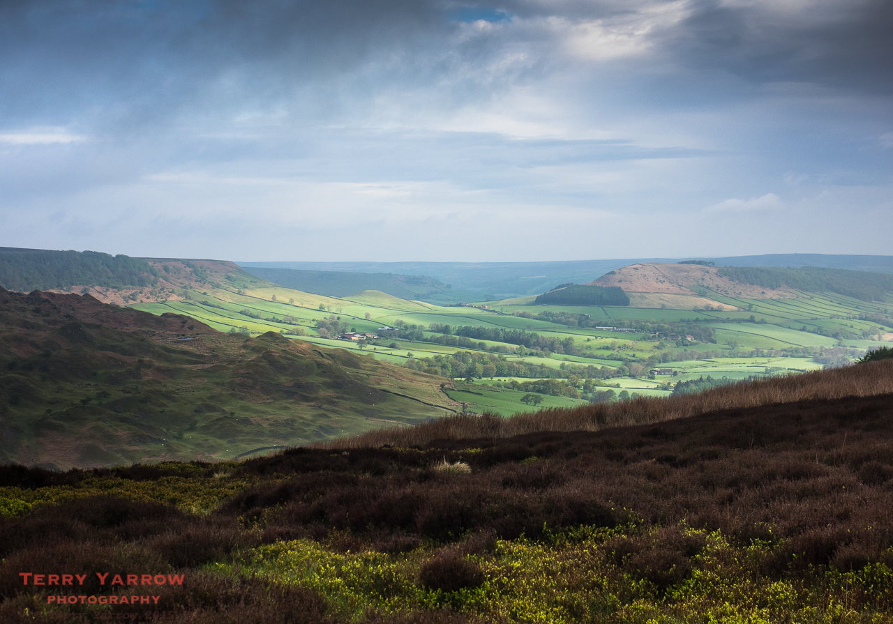
Crackpot Hall in Swaledale
A year ago I completed the Pembrokeshire Coast Path, another great trail, but the difference with this one is that good route finding skills are essential – in Pembrokeshire with the sea on one side of you and the land on the other it is hard to go wrong 🙂 ! This time, I took a GPS, map and compass, and a guide book……oh and I still had to resort to the iPhone map Ap to establish my exact position at times 🙂 !
All in all, it has been another fabulous experience and I have returned with not a single blister…..although I do have a pair of split boots as they didn’t wear quite so well as my feet!
Over the coming weeks I will be blogging each of the days walked as I kept a journal running each evening. I will include photographs (naturally), some of the hardships, the delights (of which there were many), the people I met on the way, and much, much more. I hope you will join me.
Thanks for stopping by.
Until next time,
Your friend The Dorset Rambler.
Comments and feedback on this blog are welcome. If you would like to contact me, my details are on my website which is http://www.yarrowphotography.com.
If you would like to join me on my walks, my Twitter feed is http://twitter.com/adorsetrambler.
All photographs, poems and words in this blog are the copyright of The Dorset Rambler and must not be reproduced without permission.

Oh we are So Proud of you. Do you think I could do it as a woman of 60 and frightened of heightsTerry? I would so love to , but the heights of the hills worry me!!! ???
Well done to you.
Did you book B&B or what was your way ?
I can climb high, BUT I just don’t like sheer drops.,,,,
Hi John and Liz. Great to hear from you and thanks for your kind comment. Liz, you could definitely do it – there aren’t any really dangerous parts. No, I tented most of it but did have a couple of nights in hostels to try to dry things out a bit 🙂 Hope you are both well.
Thanks Terry, you are definitely giving us something to think about now as I would so love to do the C to C.
Can’t wait to see your pictures 😊
Well done on completing it, Terry, I look forward to reading the blog!
Well done! My business partner here at Discovery Walking Guides did the C2C last year and had similar rainy conditions for much of it – but there’s no denying what a great experience it is.
Yes, whatever the weather, it’s a great walk. Now I want to do it again in better conditions 🙂
I am currently walking from Weymouth to Poole and came across your sight when I was checking out the cottages in the middle of nowhere. Then I noticed your coast to coast section, which I am walking in August, so I am looking forward to reading your blogs, hopefully all of then before I start……hint hint! P.s. today was a nightmare, carrying a heavy pack from lulworth cove to worth matravers, is the coast to coast as tough as today? Thanks Sarah
Hi Sarah. Thanks for your comment. I’d be lying if I said the C2C wasn’t as tough as your walk today. The highest point is Kidsty Pike at 780 meters but with other climbs that day, the total rise and fall is about 1,300 meters. I reckon you probably did about 800 meters in your walk today. The C2C is a tough walk but as long as you put one foot in front of the other you will get there. I will be blogging the whole walk before you go 🙂